23rd April 2016
It is unusual for us to walk on back to back days, but with the caravan booked for the whole weekend we planned 4 days of walking and this is the second and by far the hardest. The book says it is 15 miles in total, and also very hilly (that will please Darren), and it is quite a trek just to start out.
To be honest – we only planned to go as far as St Clears today (about 10 miles) – hence we parked the car there in the morning (7.30!!) and got the dog friendly bus into Carmarthen, had breakfast at Wetherspoons and waited for the dog unfriendly bus (back in the rucksack again Cleo) to Llansteffan. Off at the same bus stop as yesterday but this time we went left not right and headed for the beach and the castle.


For once we were prepared and even knew that low tide was just before 2, so as we walked along the beach we could see the tide receding. The official coastal path then heads up the hill and past the castle – but Sharon has this wonderful theory that we should try to always be as close to the coast as possible, and that if the path sometimes goes in land a bit, then we should seek alternative routes. Today was one such day. The beach was so appealing to Sharon that she decided to see if we could walk on it for as long as possible and miss a few of the hilly bits.


Our feet were sinking quite deep in the sand, at some points above the tops of the walking boots, but the sun was shining and we had the whole beach almost to ourselves. We reached a rocky part and after climbing over a few rocks we saw a guy and his dog sitting on the rock waiting for the sea to retreat far enough for him to get the fish out of his net.


We asked him if we could carry on along the rocks and get to the next beach and a way up to the coastal path. He laughed a bit and said it would be possible in about an hour once the tide went out enough and that on the next beach there we would see a blue rope which would lead to our exit. So off we set (with his cries of “good luck” still in our ears), more mountaineering than walking and definitely slower than if we had walked up the hill, but it was fun.


At times the drops between rocks were 10 feet or more and we eased ourselves down the slippery rocks until finally we made it to another beach. We walked along looking for the blue rope but to no avail, and at one point almost got completely stuck in the sand as we sank up to our sock tops in it.

We passed a man farming muscles, and then continued around a corner where we could then see no way past – it was all estuary or marshland and after a bit of exploring we turned around and walked back along the beach till we found another fisherman who showed us where the blue rope was – to be fair, we had to go in through a stream and woodland before finding it and then use the rope to climb up a very steep hill.


Sharon led the way up the hill and at the top we found the coastal path and the more traditional view.
We were quite behind now so decided to stick to the coastal path for the rest of the journey, even though it had to go inland at times, and it was a mixture of lanes and fields.
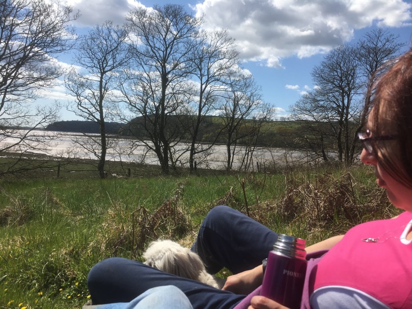
We found a lovely quiet spot for lunch and a snooze in the sun.
At one point we went past a farm and the sign said to go through the farmer’s field, so we did and then got completely lost wandering from field to field, stepping boot deep in cow slurry this time (Andrew!!) and after an hour we gave in and went back to the farmhouse to ask for help. Turns out the route was through a field of cows (who were very interested in Cleo) and the farmer had taken down one of the signs to avoid people using it we think. We found an alternative route through a neighbouring field and continued up and over the hills.


Finally we approached St Clears – well as close as the coastal path went to St Clears by the boatyard.


The coastal path then headed off to the left to Laugharne, or the car was right to St Clears – but even that was 1.5 miles away so we decided (foolishly) that we might as well finish off to Laugharne and then get a bus back to get the car.
I was running out of phone battery life at this point and we needed to rush for the bus so pictures are limited, but it was much the same as the other side of the estuary and we spent a lot of time on or near the road. Finally we made it to the bus stop in Laugharne just in time for the last bus of the day. Laugharne itself, pretty as it looked, will have to wait until we have more time another day.
So the stats – we were supposed to do 10 miles of a 15 mile coastal path walk – but with detours ended up doing 17.4 miles of walking and all 15 miles of the section. Our total ascent was 1501 feet which was pretty impressive. That takes us to 123.9 miles of the coastal path completed, and 746.1 to go. And another walk to come tomorrow!!!
Andrew and Sharon
