13th July 2021 Cemaes Bay to Church Bay

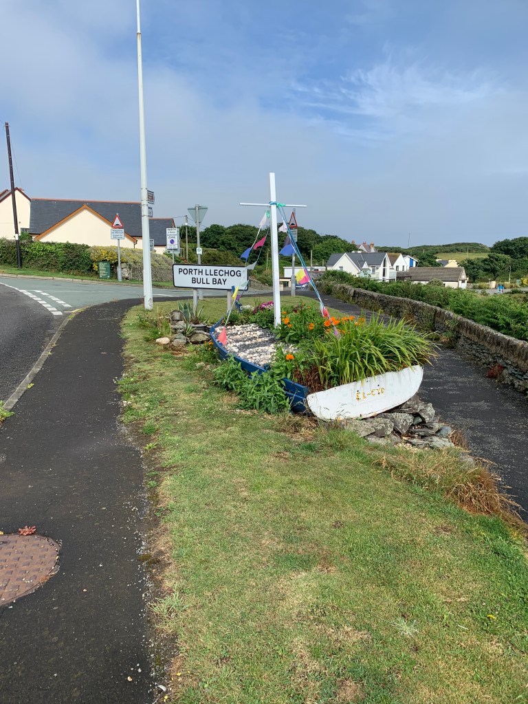
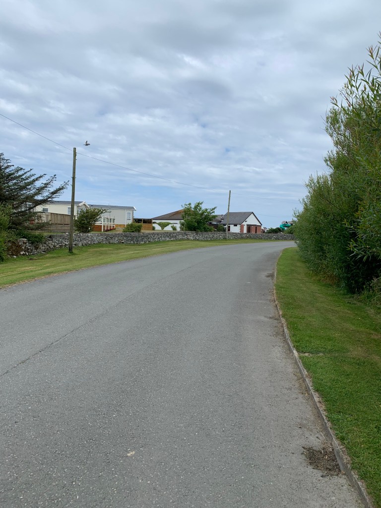
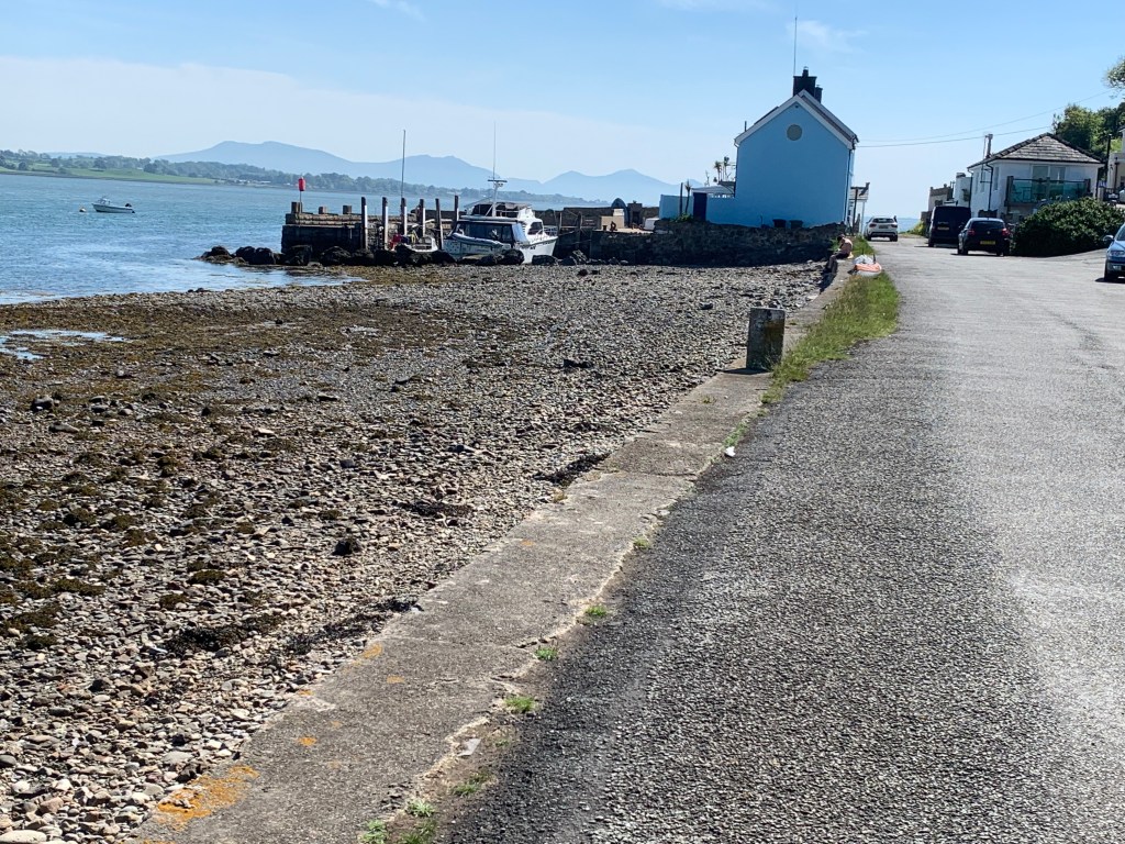
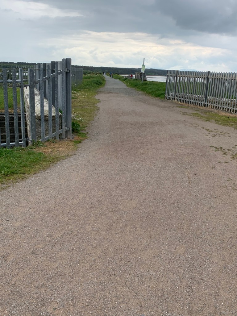
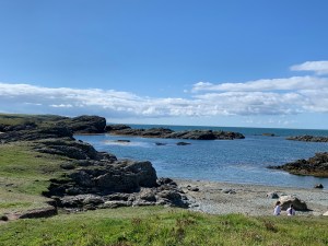
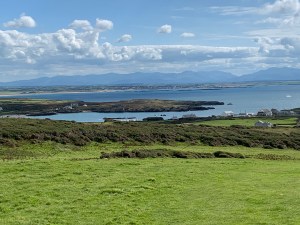
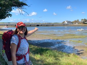
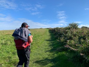
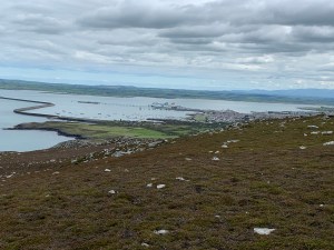
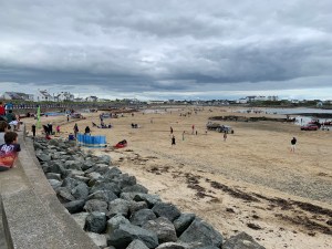
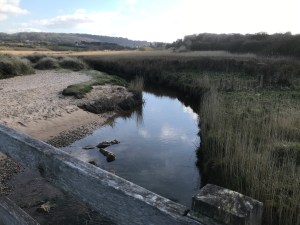
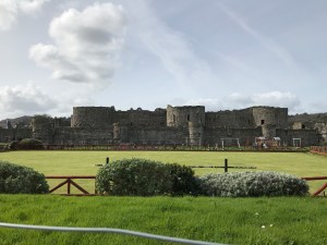
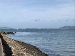
The last walk of our long weekend, and our last walk on Anglesey as well. Today was supposed to be a lovely sunny day so we set off early so that we could get most of the walk done before the heat of the day, 410 metres of climb today so that was going to be fun. It was 8am outside the campsite again and a shorter bus ride today, but today we were prepared and had had breakfast already. At the other end of the bus ride in Cemaes Bay there was our end point from yesterday but this time with bright sunshine behind it.

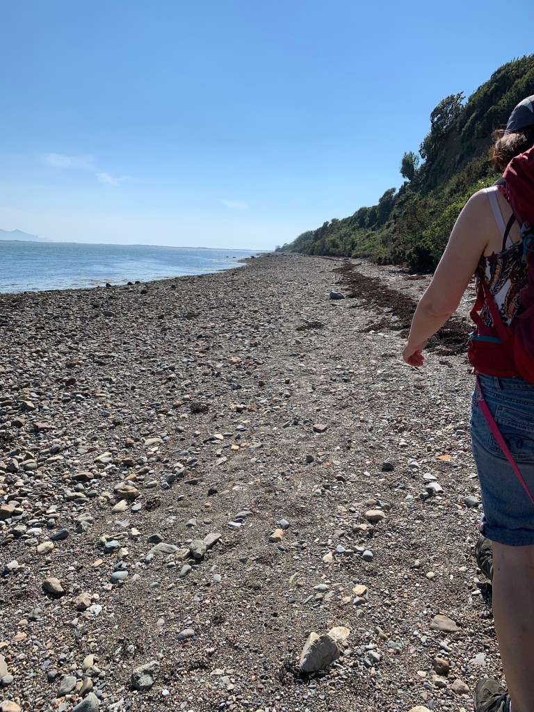
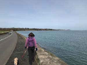
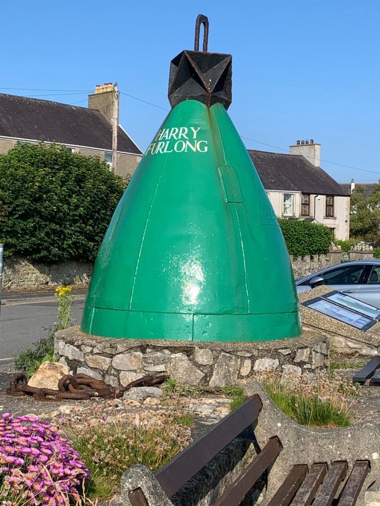
And off we set, the first couple of miles were beautiful, with Harry Furlong the buoy who used to mark the dangerous rocks, and named after a man who legend has it used to extinguish the beacons.

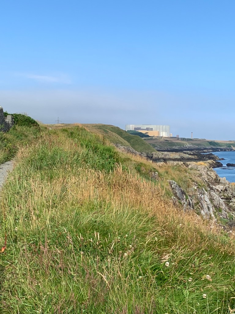
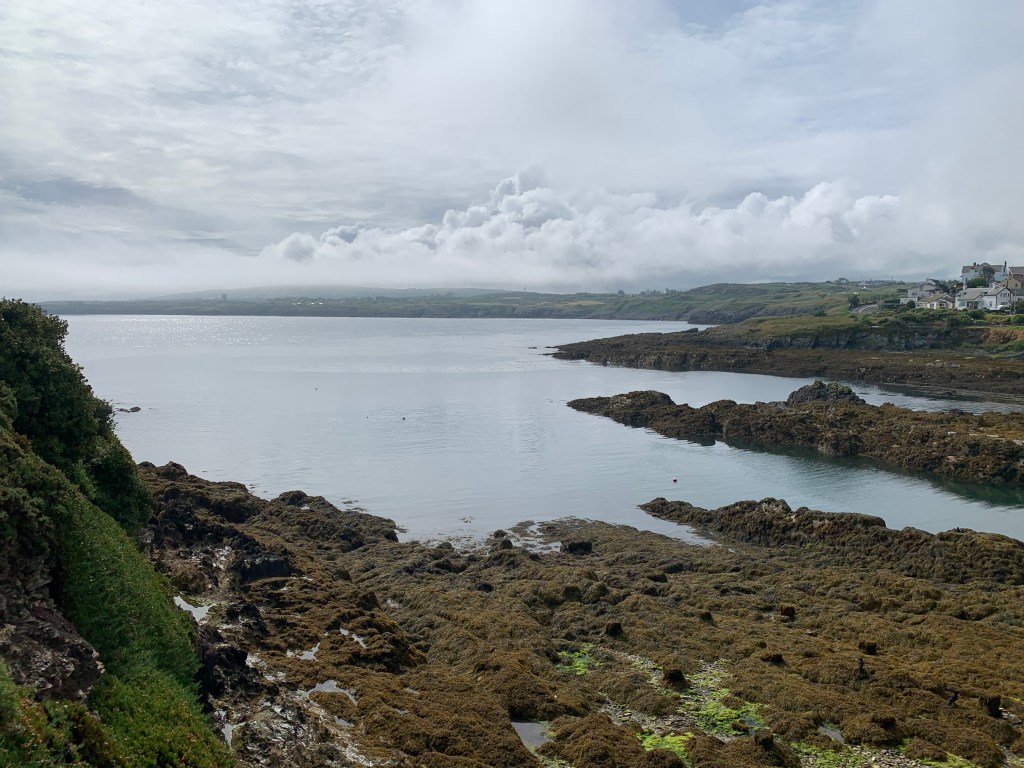
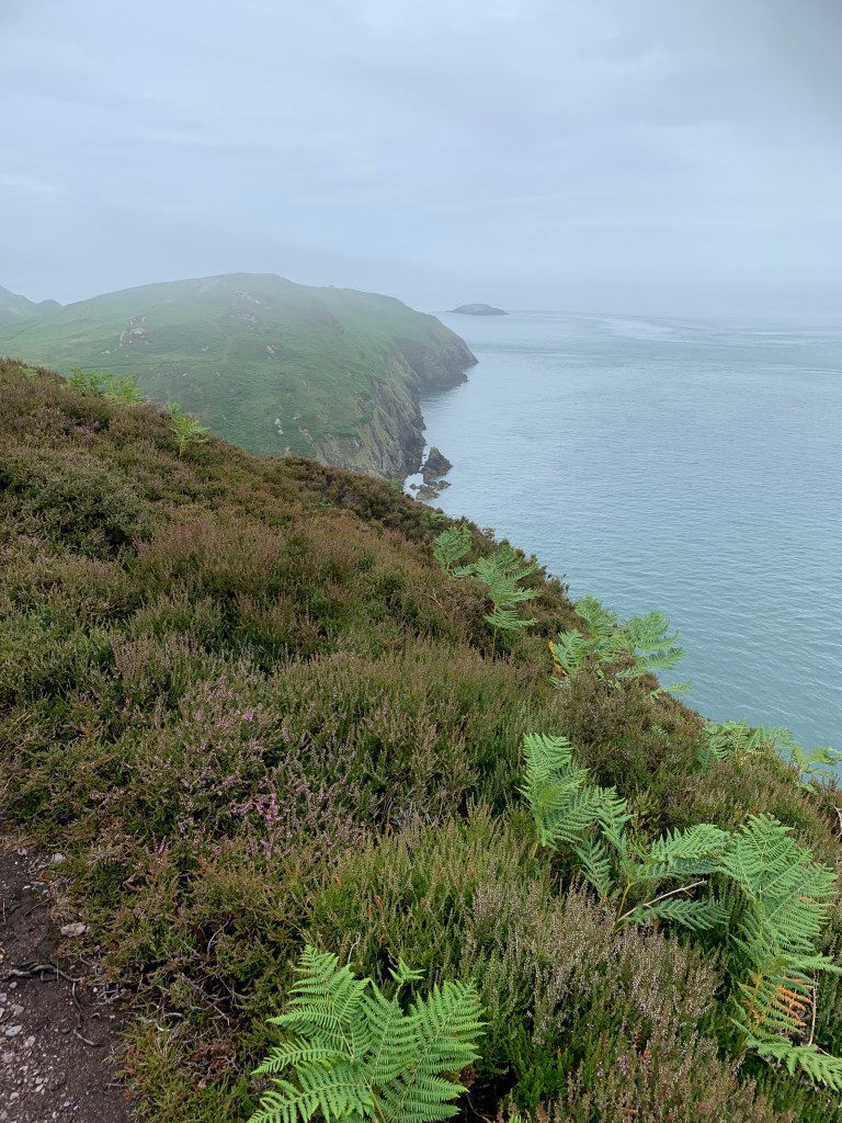
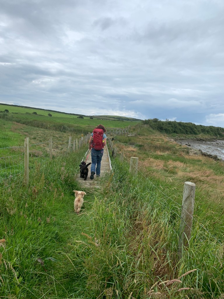
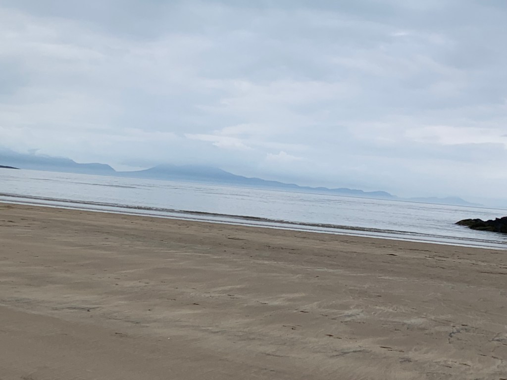
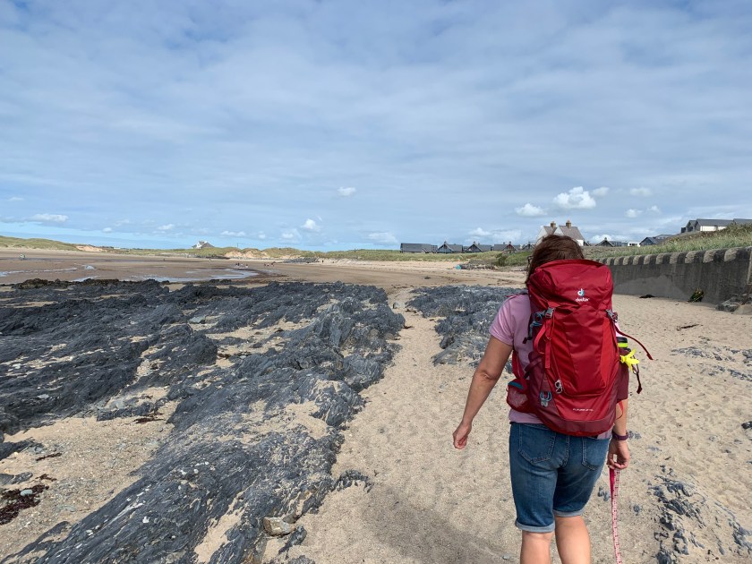
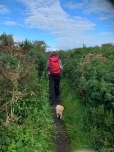
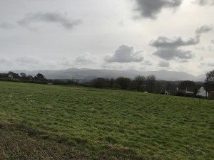
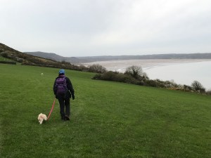
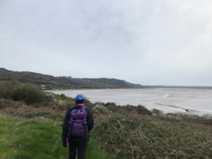
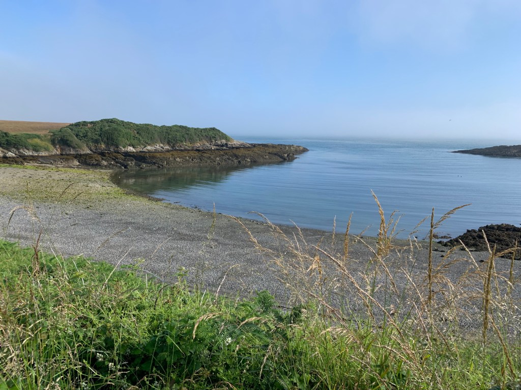
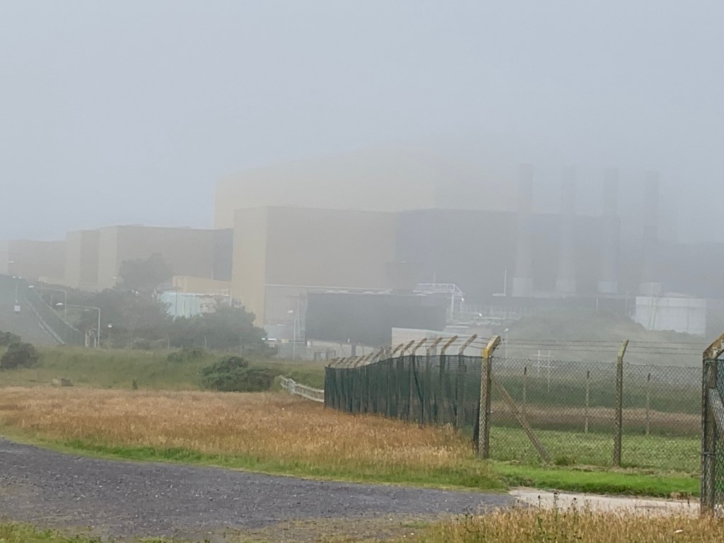
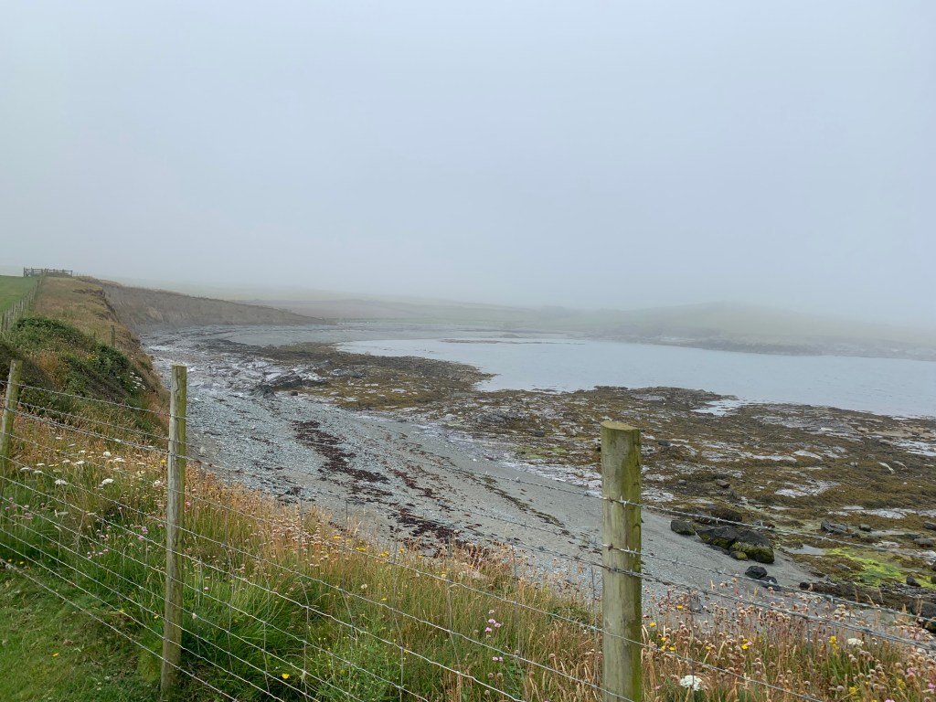
But then about 2 miles in to the walk and the sea mist rapidly came inland and obscured the view, and indeed it was quite disconcerting not being able to even see the sea.

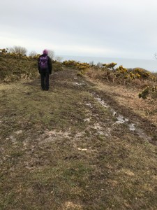
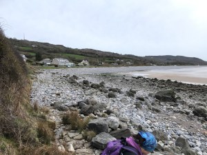
So there was a lack of pictures for that section, except to say there was a strange part where the coastal path goes through a gap in a wall, then around a headland and back through the same wall but about 50 metres along. This completely confused me in the fog but Sharon luckily worked out that we had already been through the gate or I would have been there all day going around and around like Winnie the Pooh around a tree.

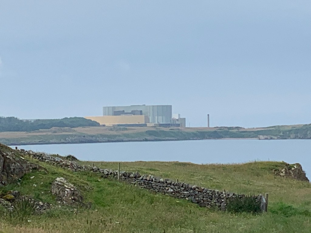
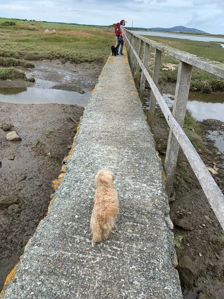
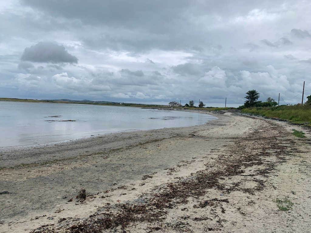
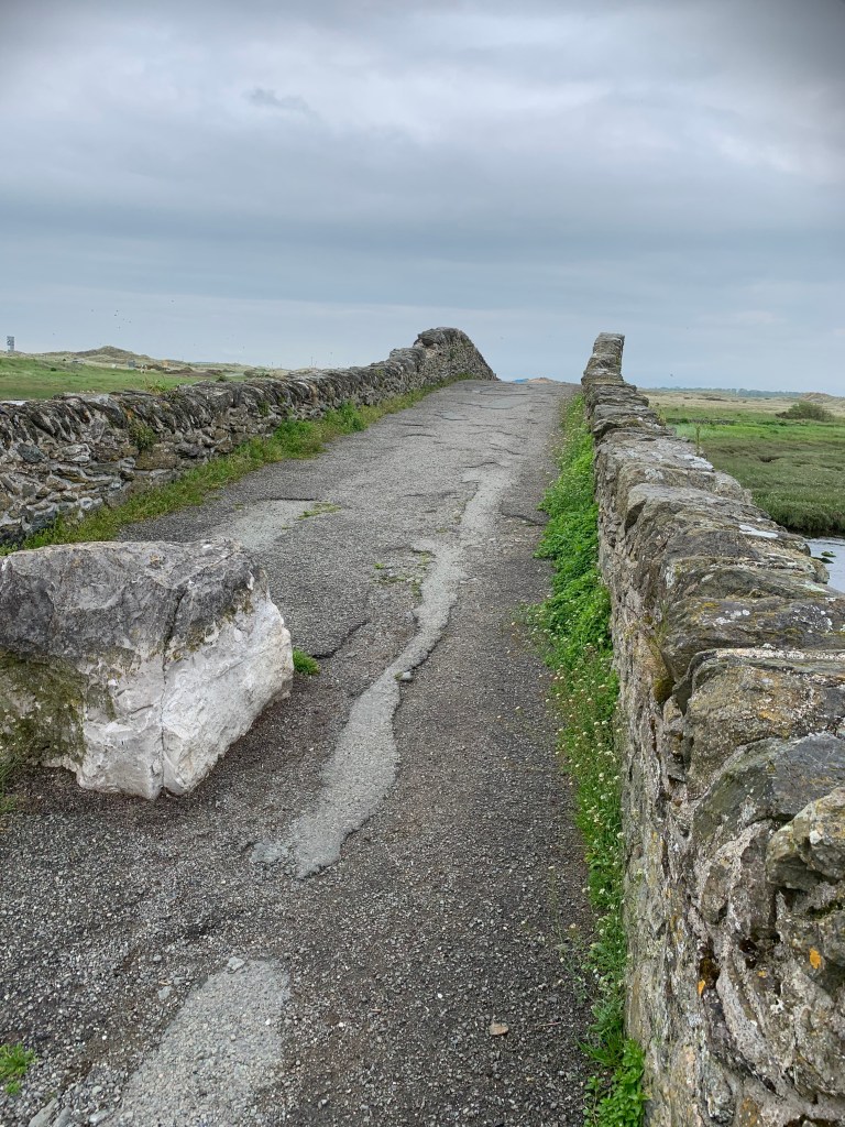
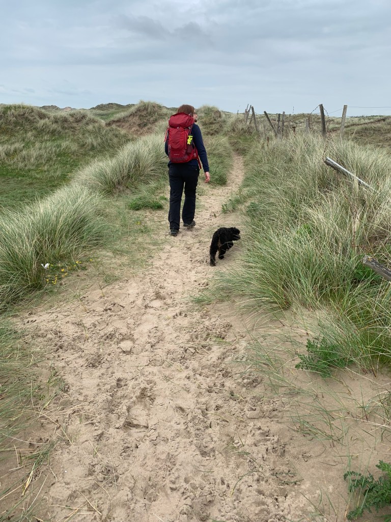
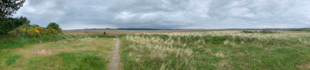
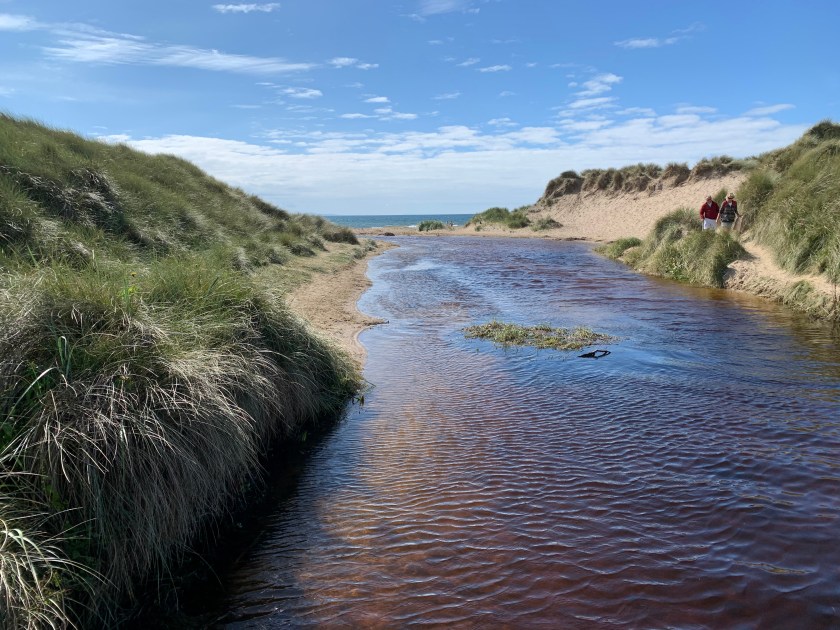
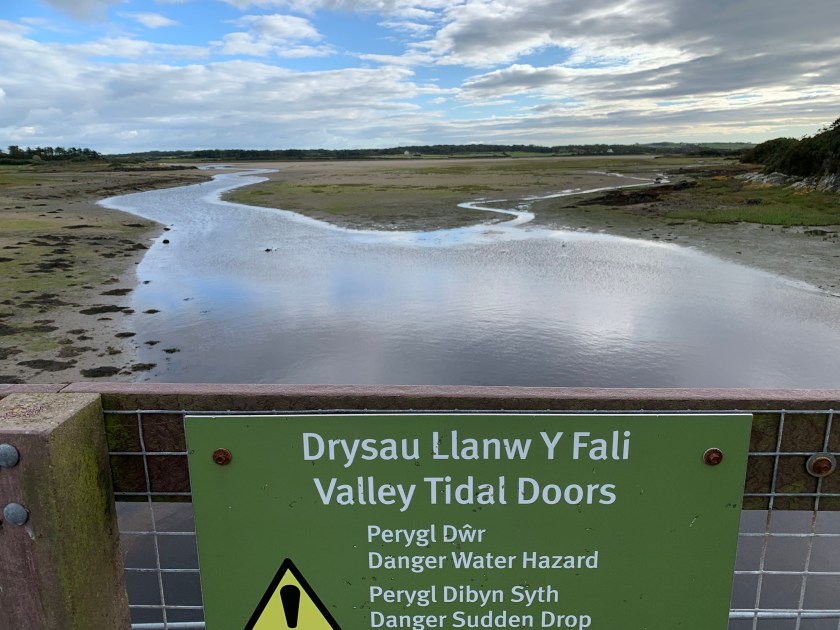
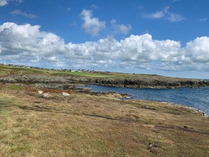
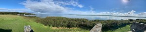
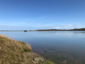
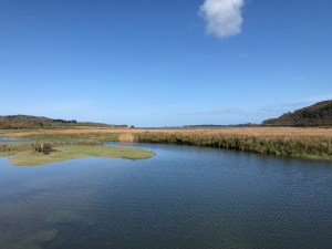
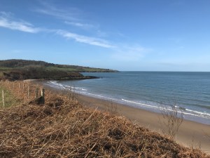
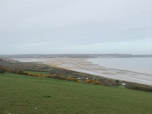
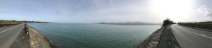
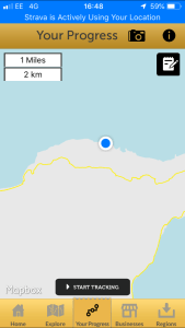
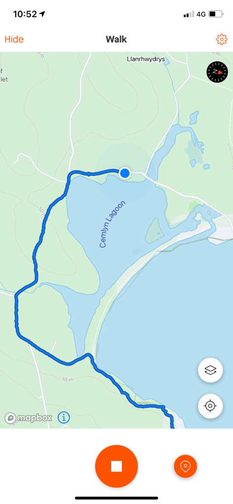
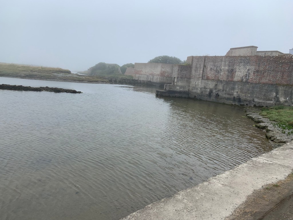
After leaving the power station area the walk detoured through a nature area, which was again a long-cut and we would have been better off sticking to the road, and then along some paths fenced off besides fields. It then went across various paths and moor land and came out on the beach at Cemlyn Bay. Again, with the fog we didn’t realise there was a land bridge in place across the Bay and you could walk across it at all but the highest tides. As this snap from Strava shows ….we went the long way.

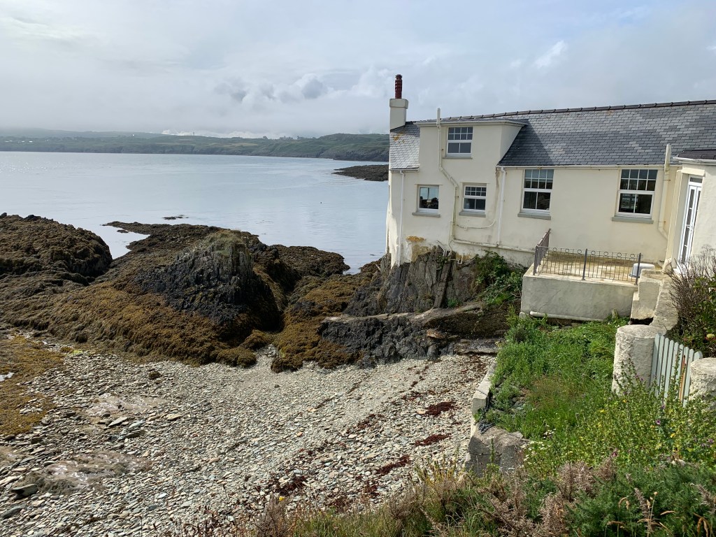
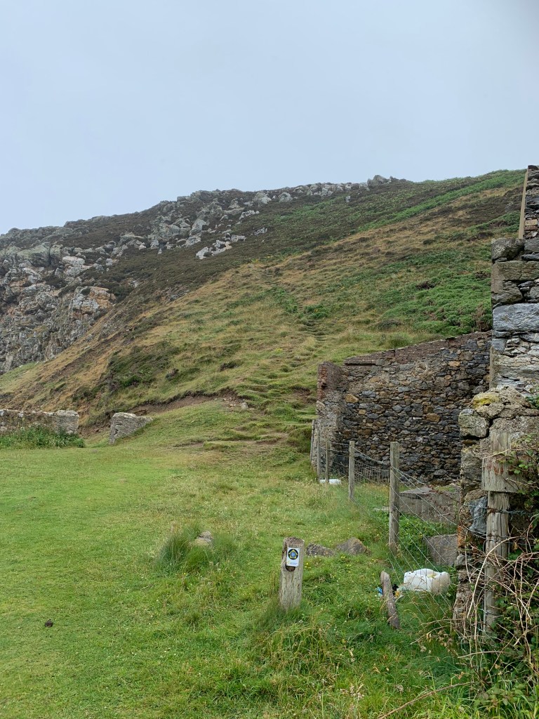
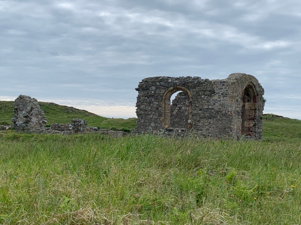
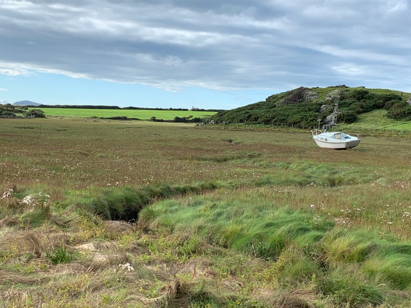
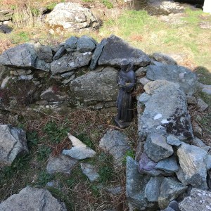
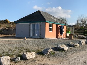
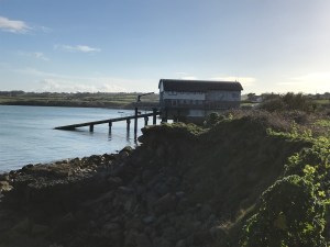
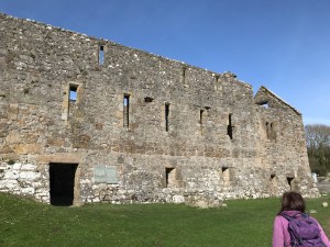
This building was some sort of walled house but now sits on the Cemlyn Nature Reserve.

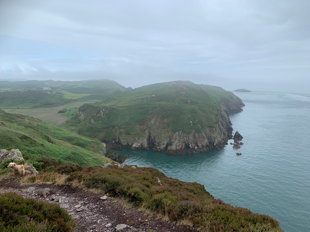
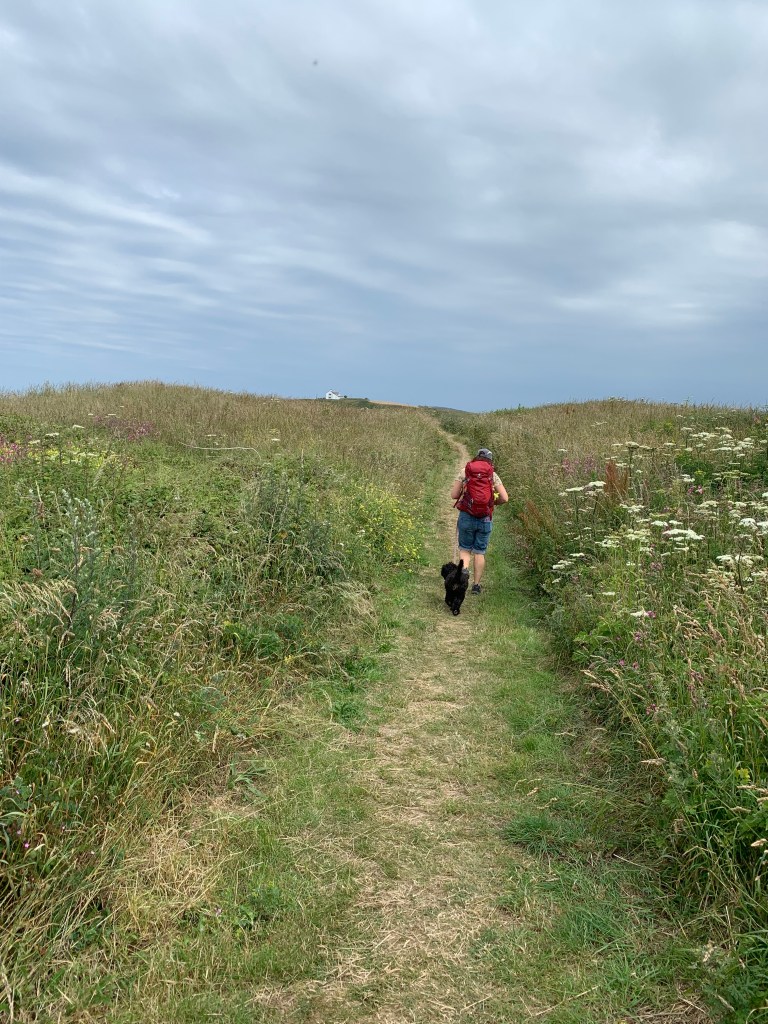
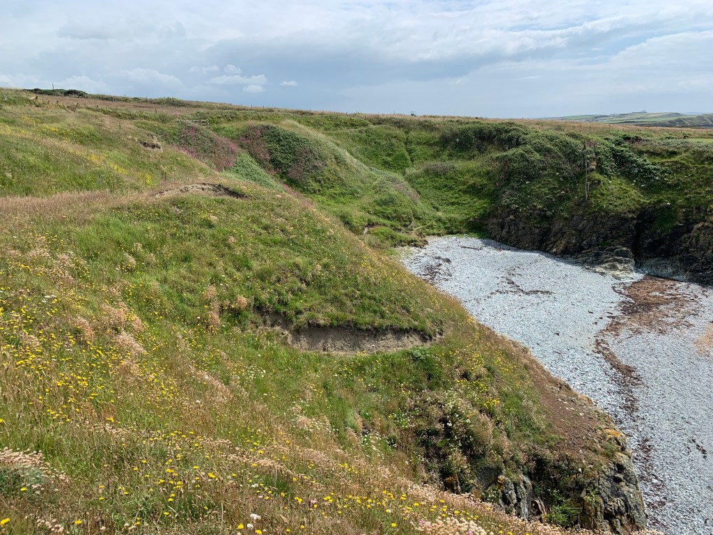
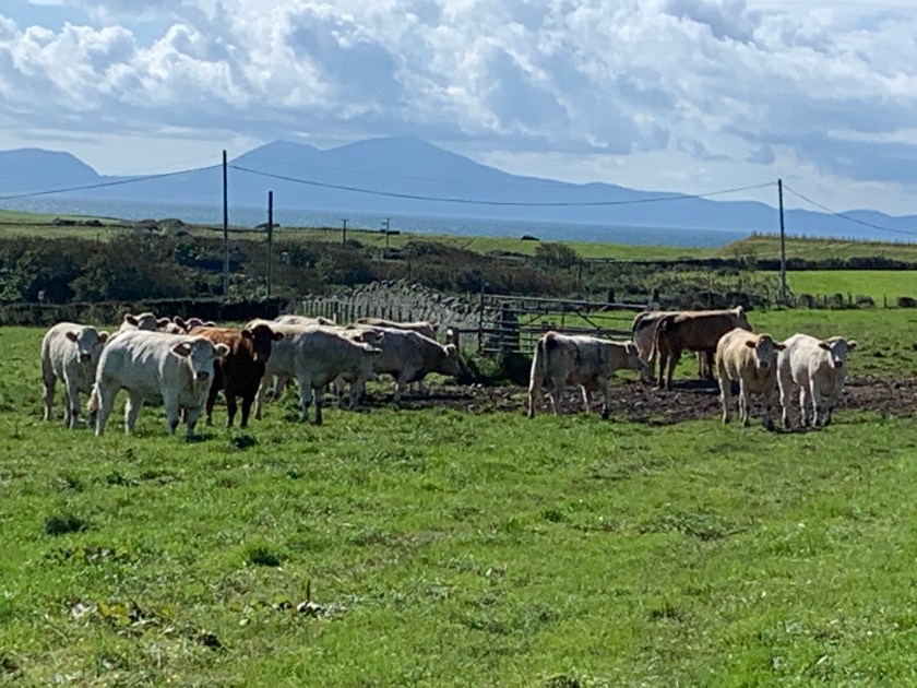
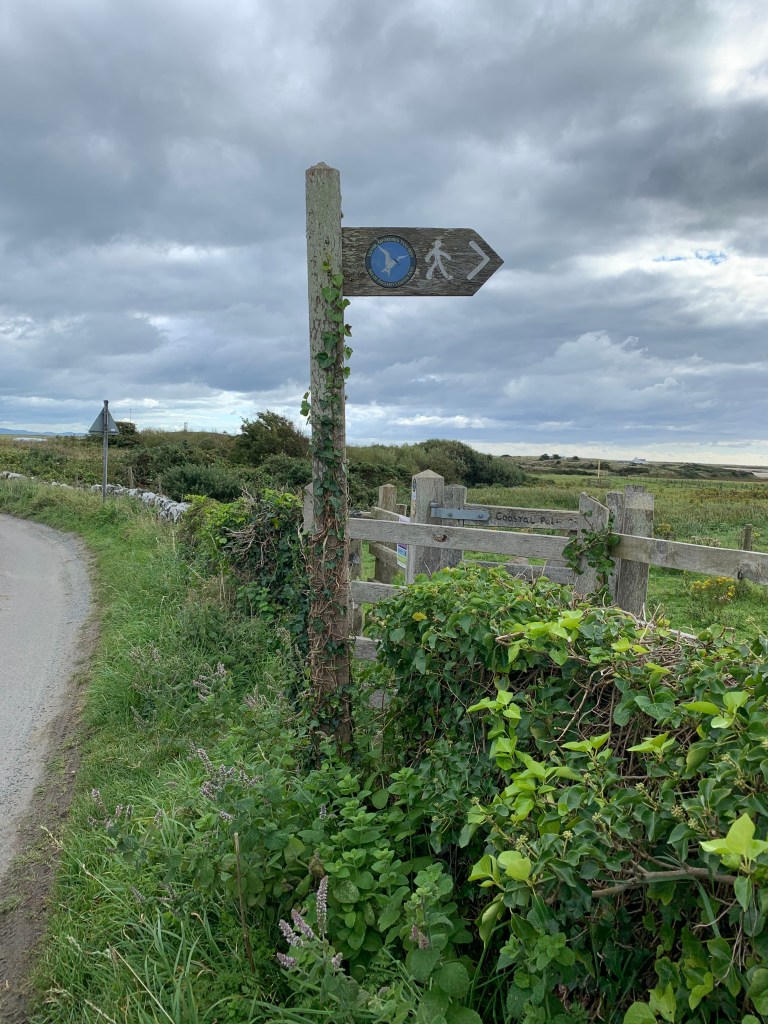
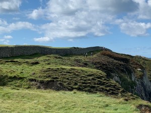
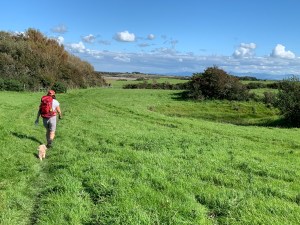
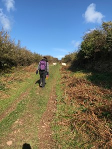
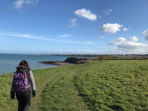
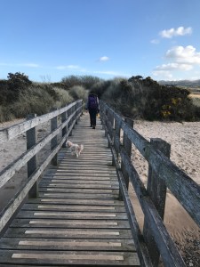
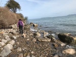
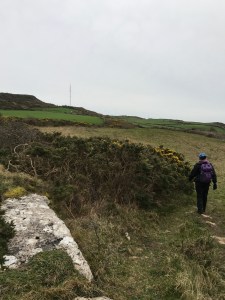
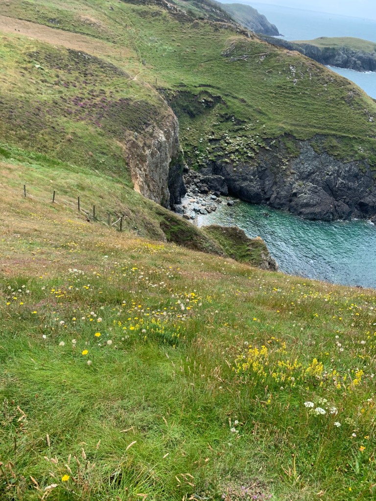
The path then headed up hill and right though some cow fields at Hen Borth.

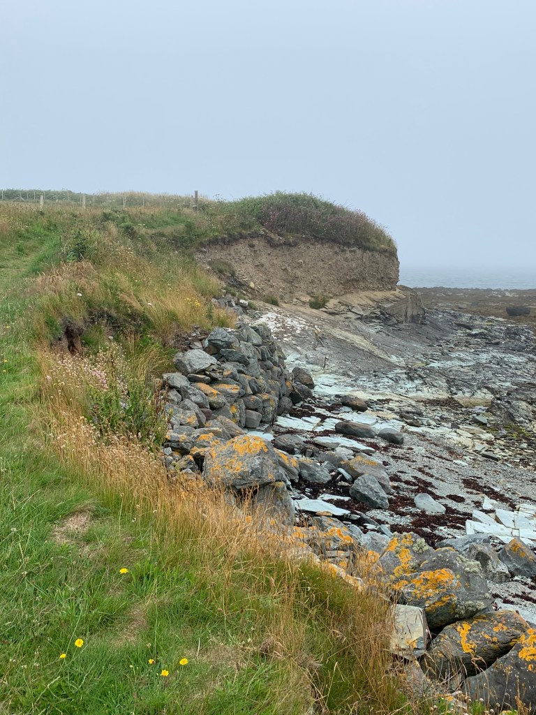
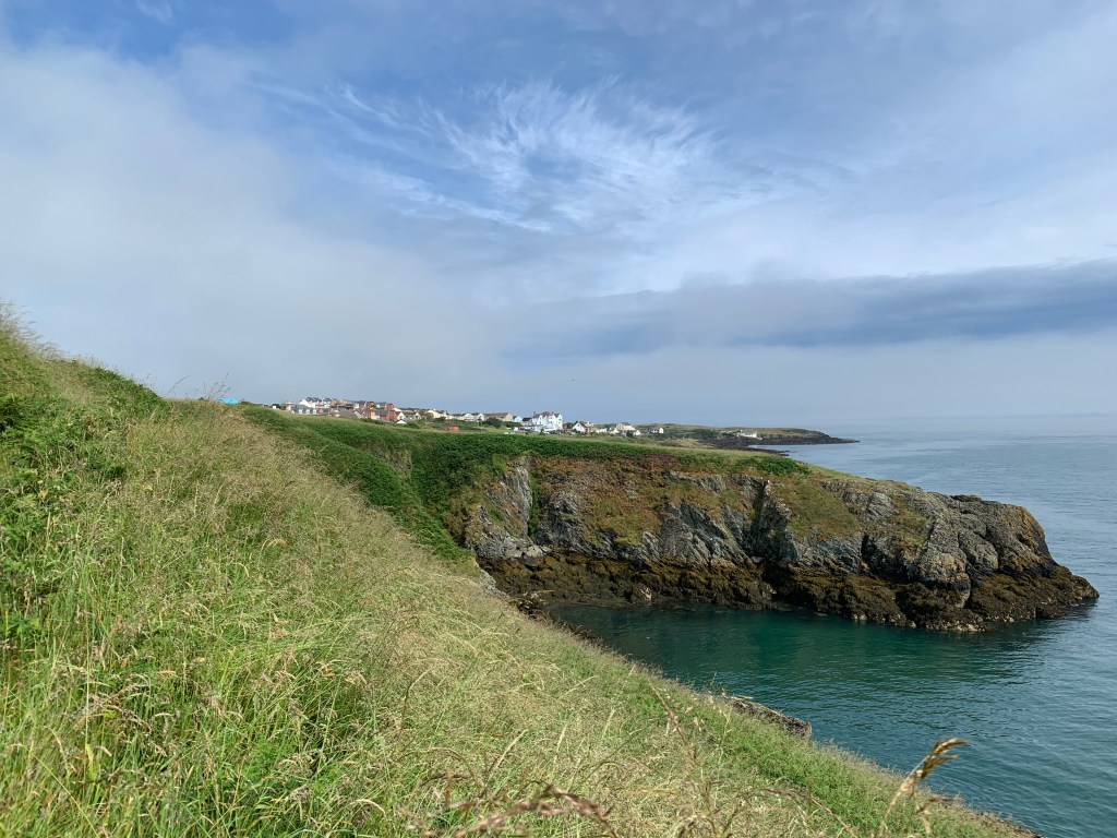
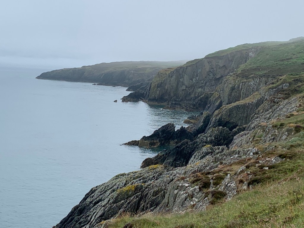
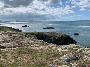
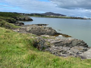
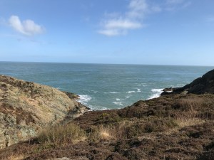
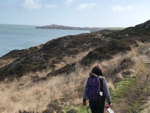
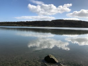
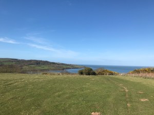
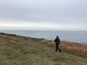
And along the edge of the coast as the mist started to clear but it was still a chilly breeze.

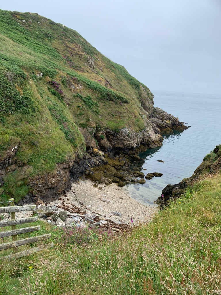
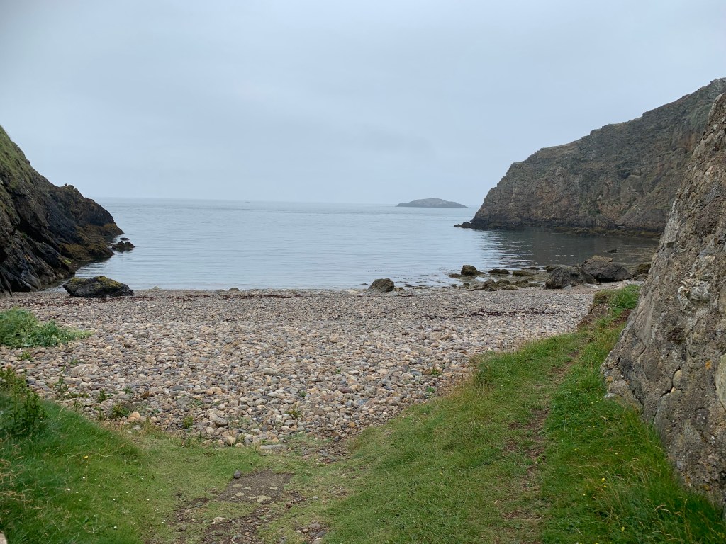
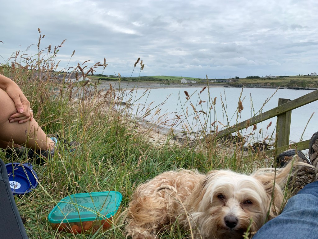
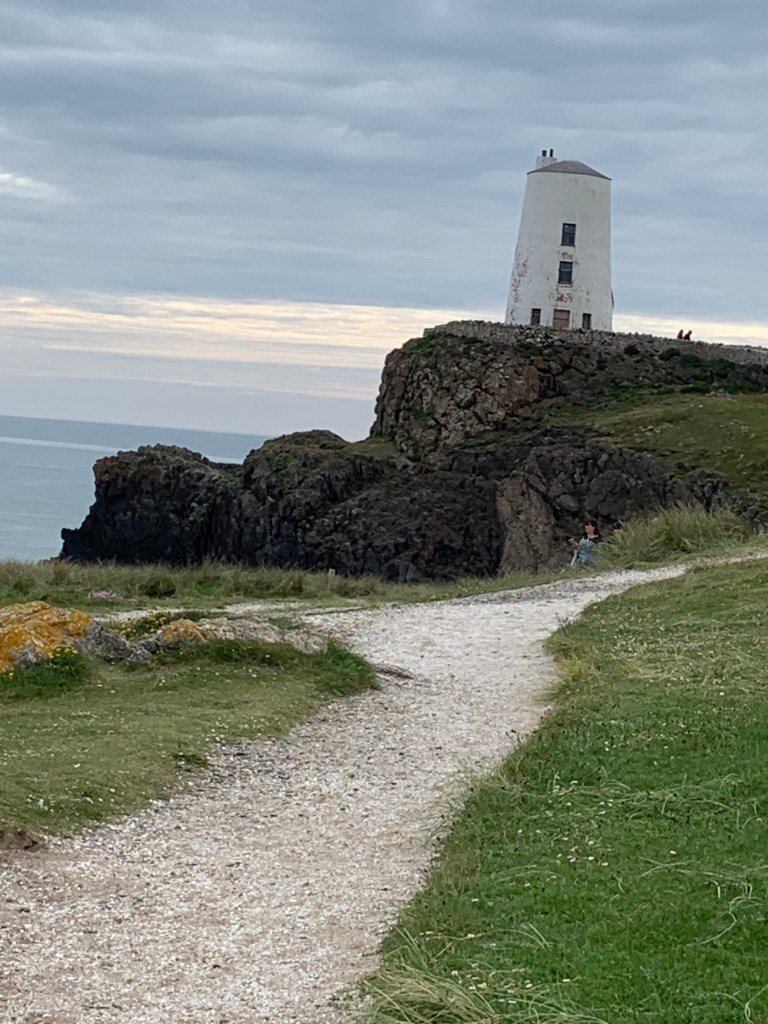
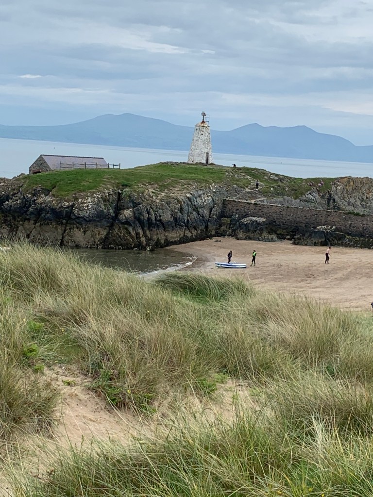
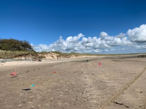
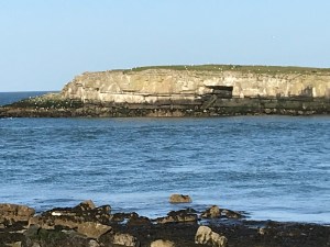
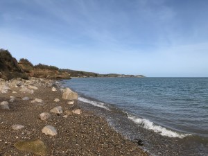
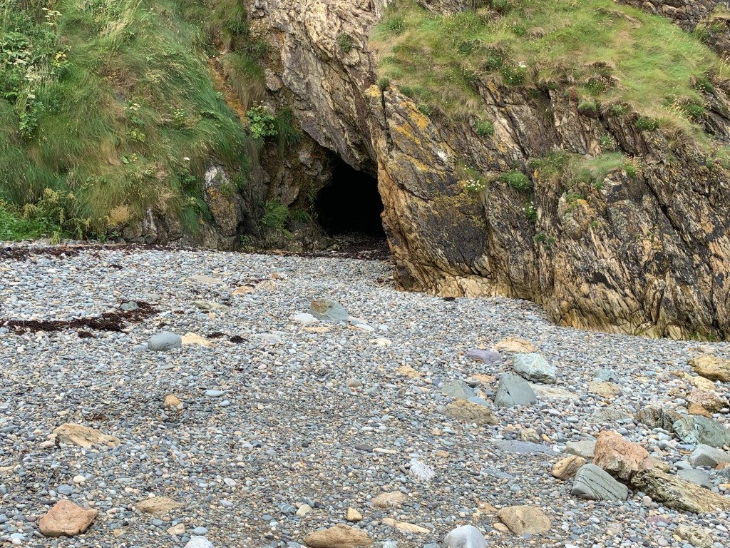
We stopped for lunch on a beach section where we could shelter in a cave, and then the White ladies came into view.

Our lunch spot.

After lunch we felt warmer and the sun started to come out.

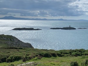
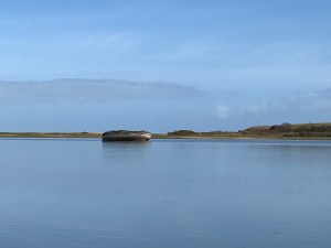
This is a close up of one of the white ladies – 3 giant structures used by ships to avoid an invisible reef known as Coral Rock.

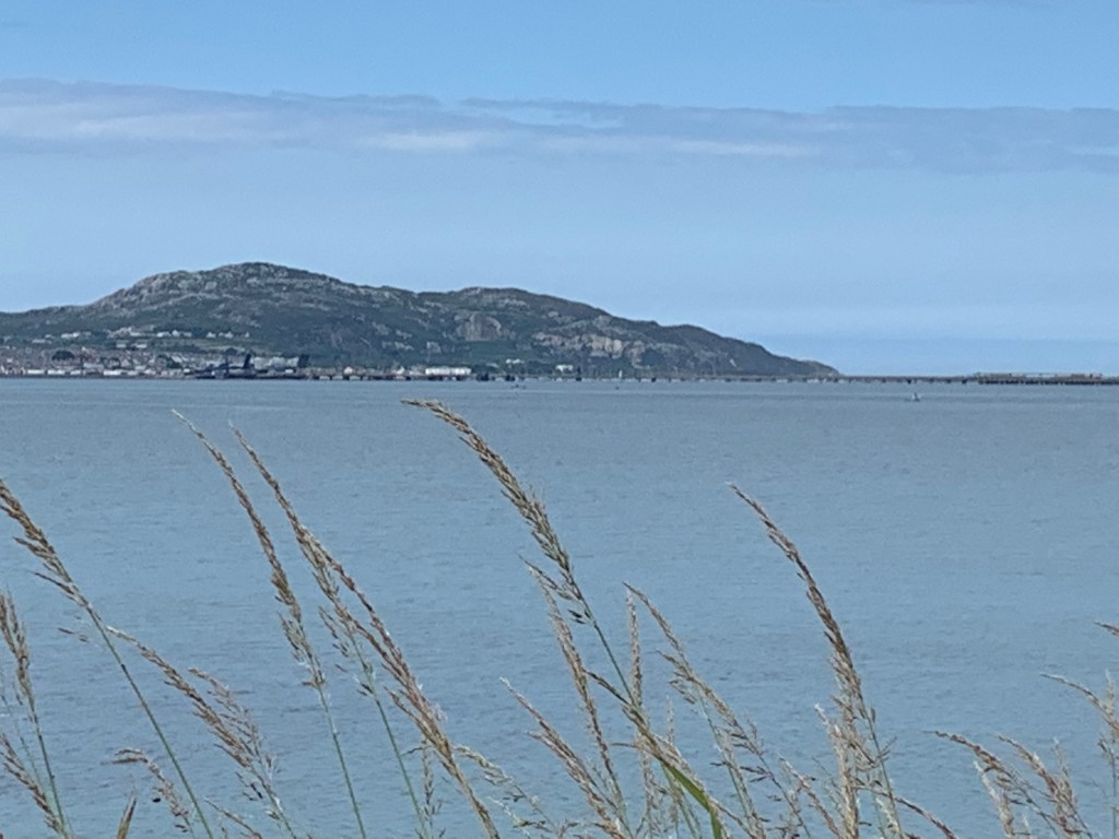
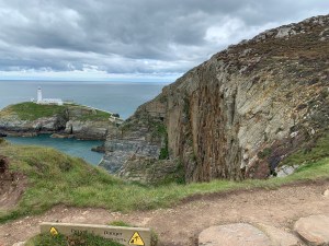
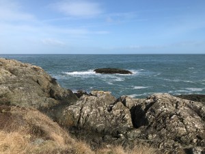
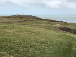
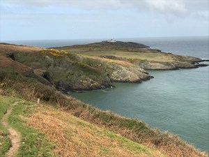
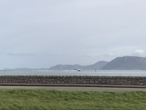
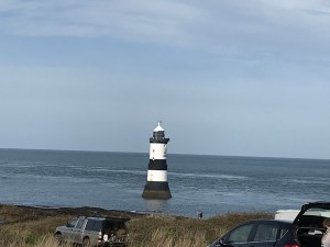
And here you can make out West Mouse Lighthouse.

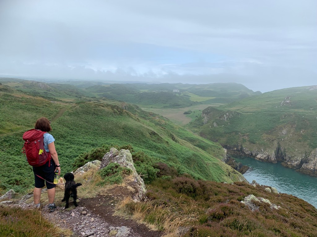
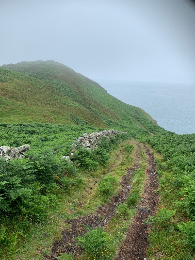
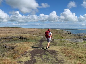
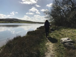
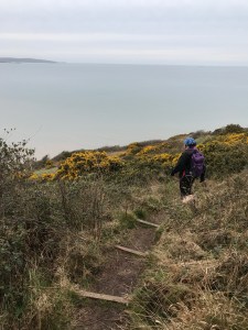
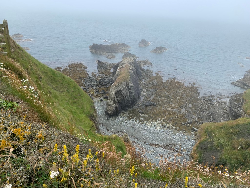
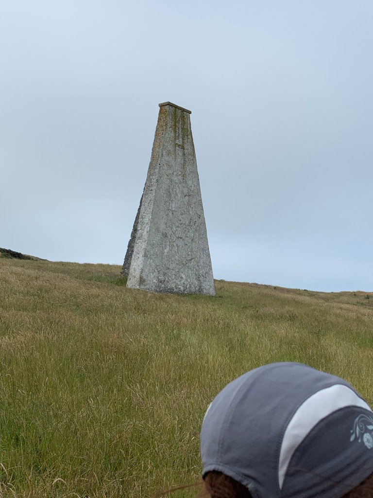
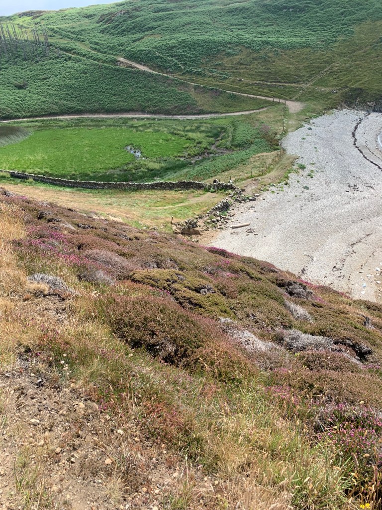
We then had more climbing to do as we went over Penbrynyreglwys.

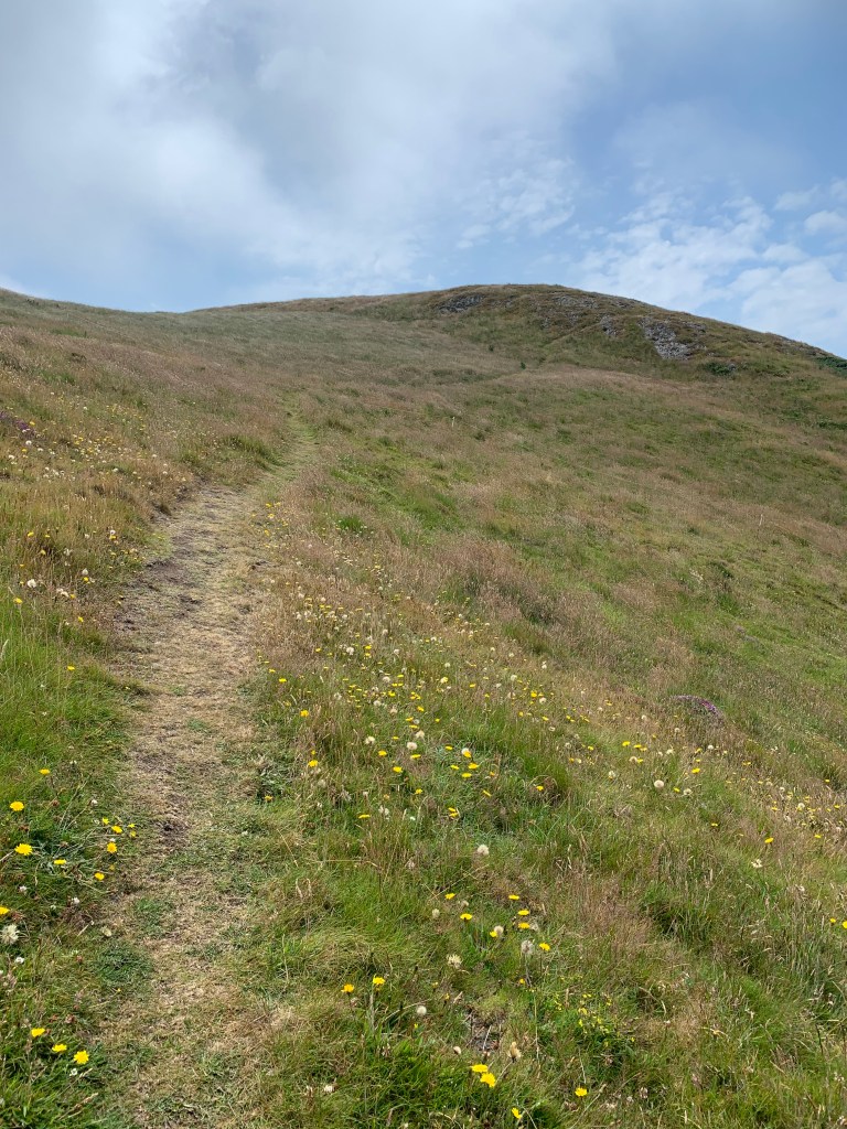
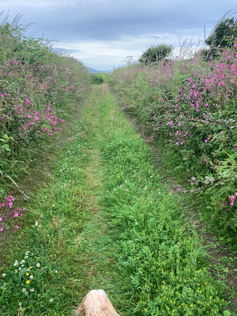
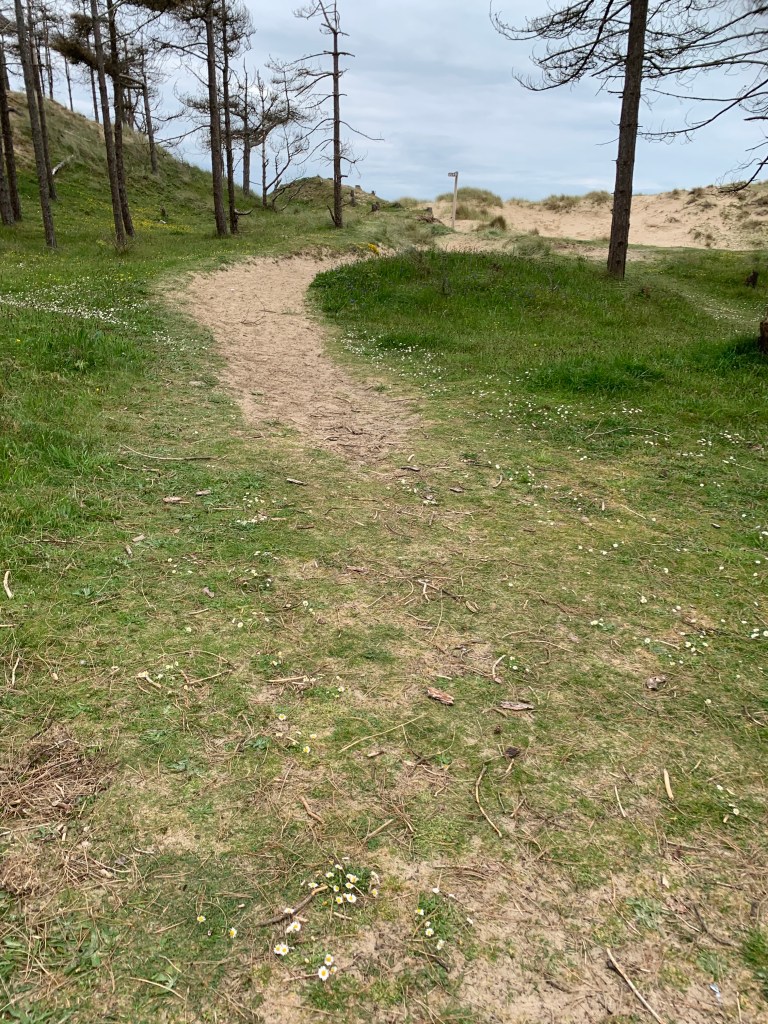
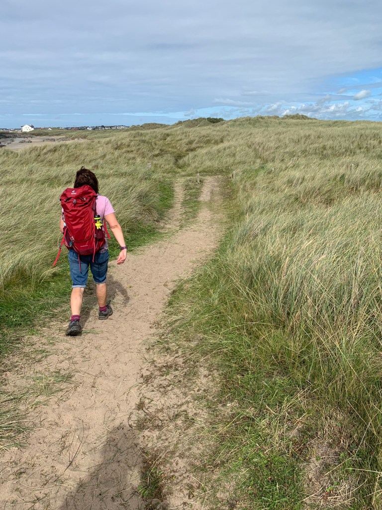
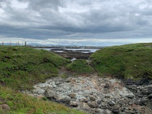
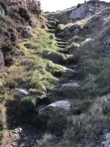
And the paths were now little more than worn down grass areas which crisscross the landscape.

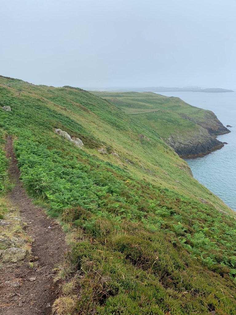
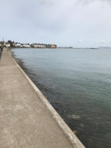
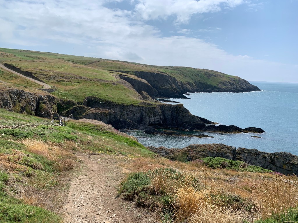
Plenty of ins and outs along this coast.

With very little to stop you from falling off into the sea.

Looking back at some of the climb.

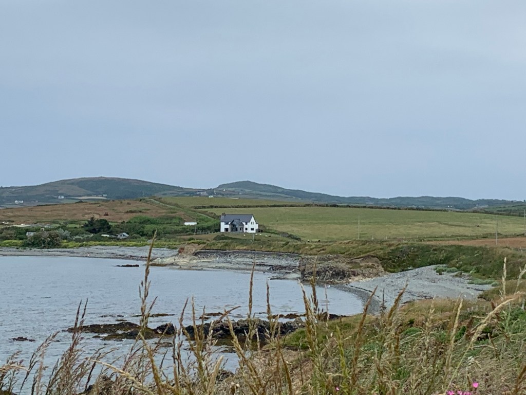
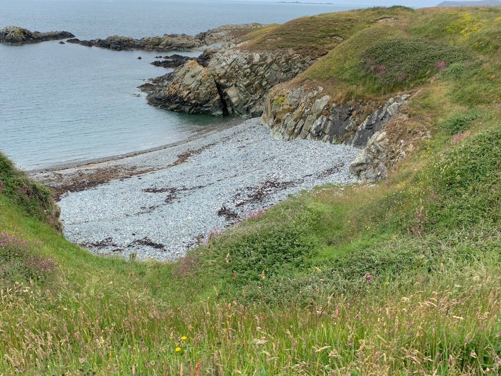
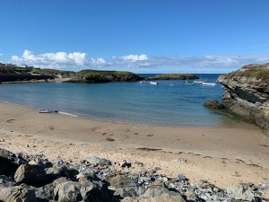
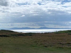
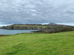
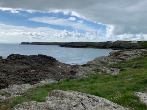
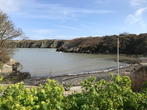
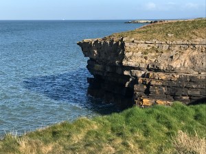
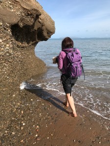
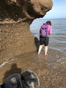
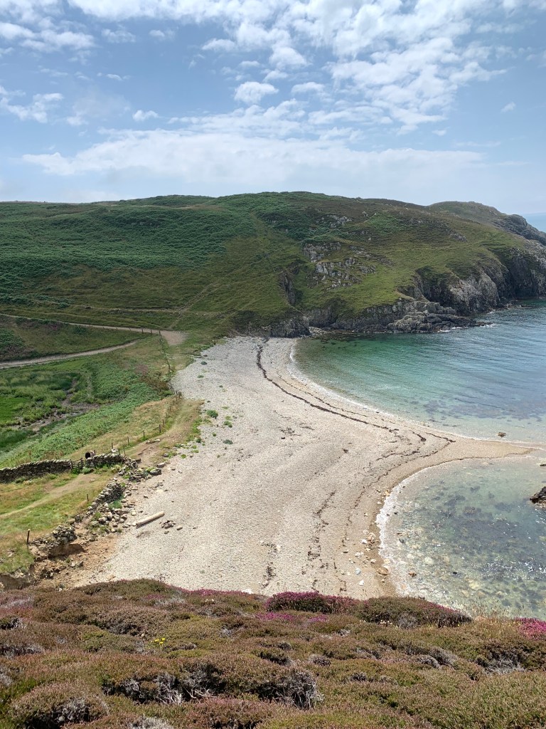
This was Ynys Y Fydlyn which looks connected at low tide.

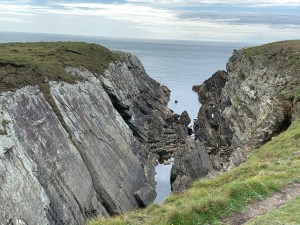
It has an arch you can swim through on the right hand side.

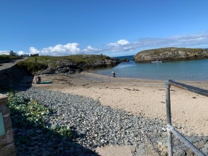
But to get there we had to go down a steep hill and

then back up the other side again.

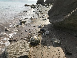
A close up of the arch.

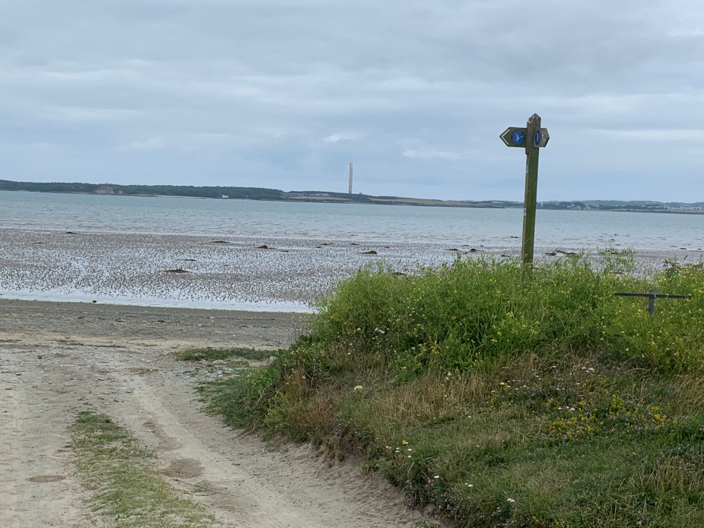
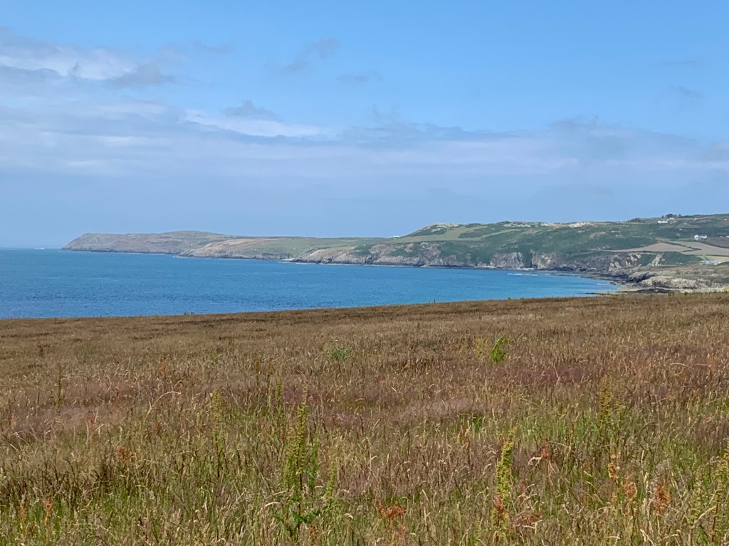
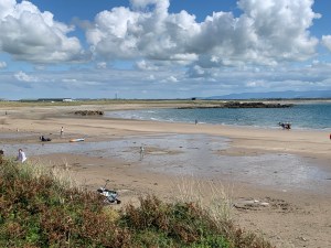
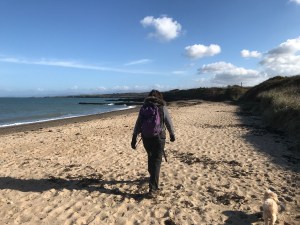
On the path goes, by this point we wondered if Port Swtan would ever come into view, we were already over the 11 mile point.

But finally it did come into sight and we knew the end was not far.

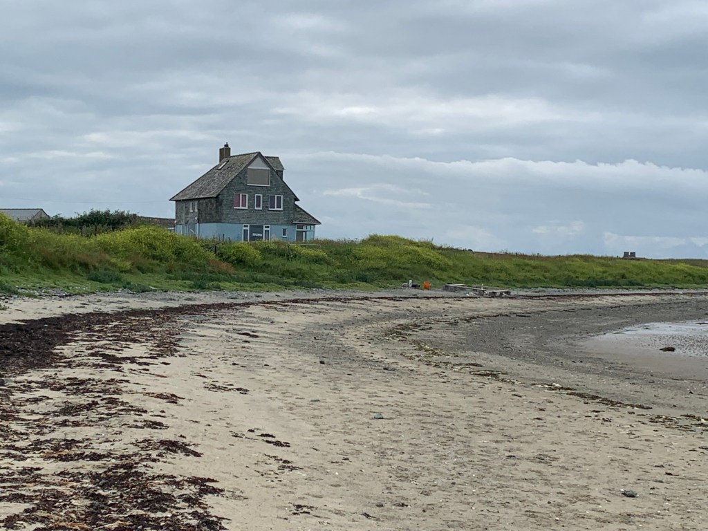
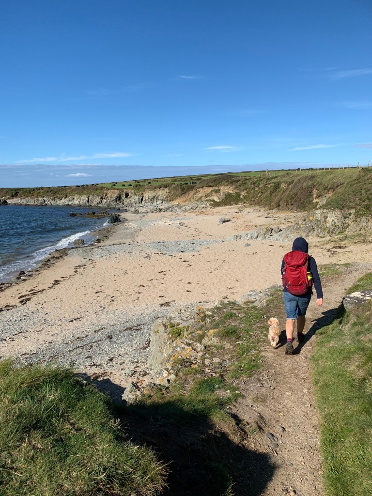
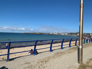
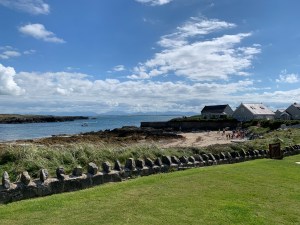
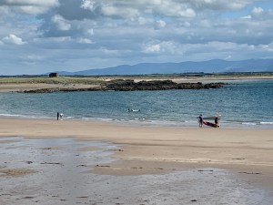
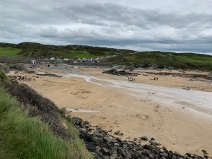
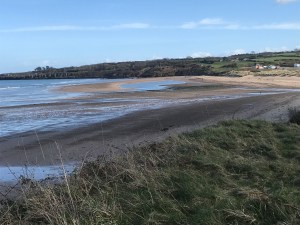
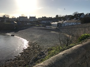
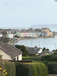
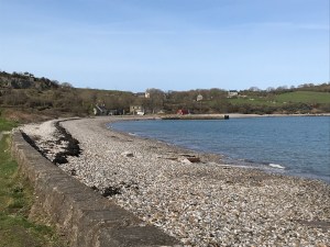
Porth Swtan, the beach of Church Bay.

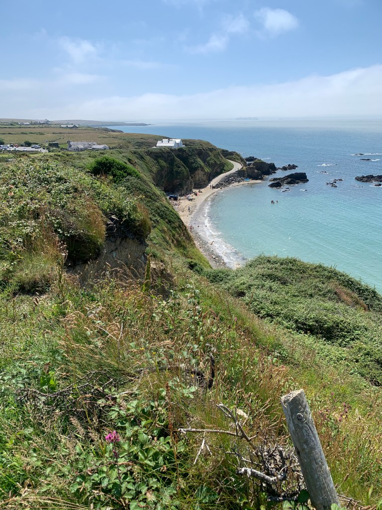
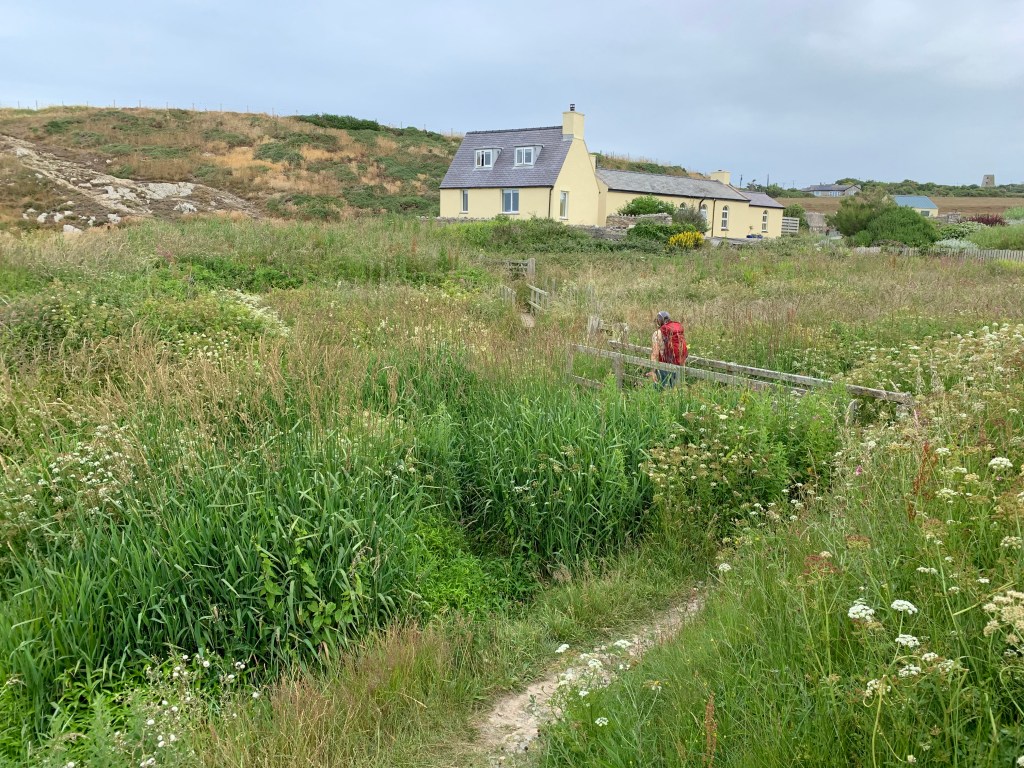
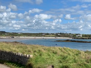
After crossing a couple more fields we were back at the Wavecrest Cafe, and Tuesday meant an ice cream and drink.

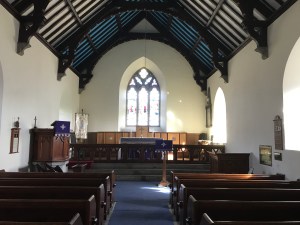
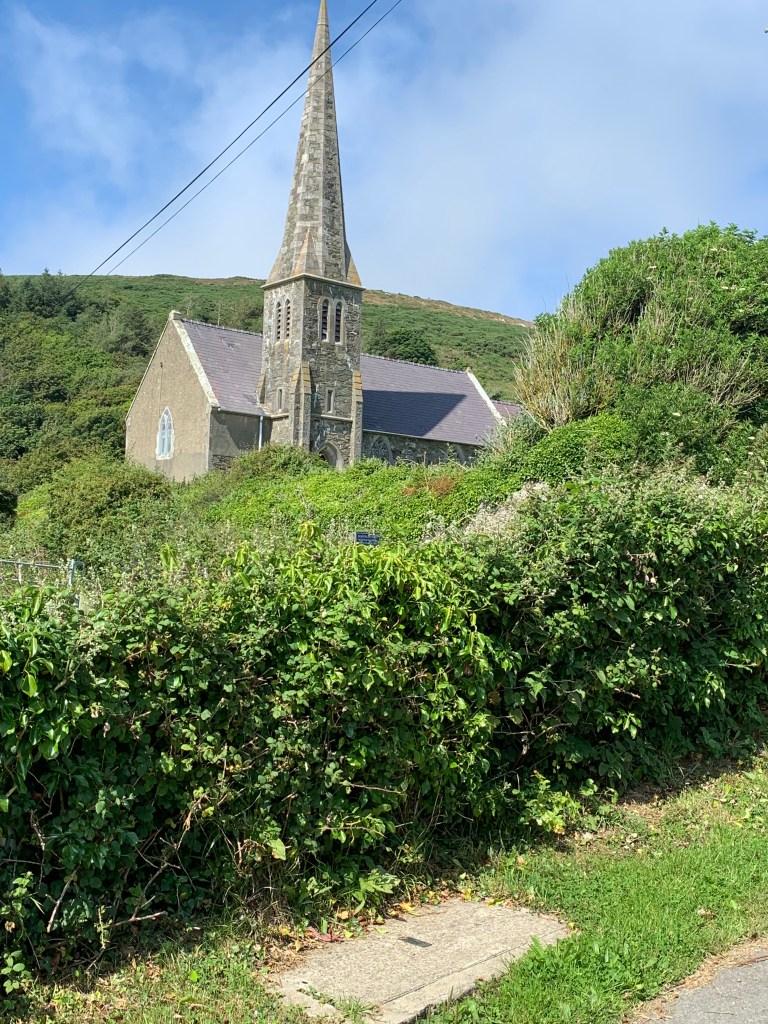
That ended the coastal path of Anglesey, but we still had to walk up to the main road to catch the bus which was a further mile, and this is the church of church bay.

So today was 12.6 miles of coastal path and I would highly recommend this section as one of the most beautiful (if you can see through the mist). I have recalculated all the totals in this complete list of walks from North to South and I make it that we are now at a massive 710.8 miles completed and 196 miles to go- yes we are under 200 miles left. We could even be done by June next year all being well.

12th July Amlwch Port to Cemaes Bay

Not the longest walk today but quite a hilly one, and we were at the campsite entrance at 8am to flag down the bus. Almost 45 minutes later and we are at Amlwch Port, last seen when we started here and walked to Moelfre back in April 2019.

First task – find where we left off last time….. there it is, right in the middle of the port area.

After a mixture of road and grass we made it to the coast, and looking back behind us we could see the water tower.

This little island is Ynys Amlwch not surprisingly named, but we continue left along the coast.

The early part of the walk was quite low down, and we were wondering when the height would start to come into play.

Behind us was what looked like a prison but was actually a Bromide extraction plant which closed in 2004. Ahead of us we could just make out Bull Bay, which hopefully would be a stopping point for breakfast as we left without any this morning and there was nothing obvious in Amlwch.

Strange cloud formation over Bull Bay

And here is Bull Bay, one sign suggested a hotel had breakfast, but it was all boarded up and there are no cafes here, so they are definitely missing a trick. Oh well, we decided to have part one of lunch instead and hoped we could find more lunch later somewhere.

This part of Bull Bay is known as Traeth Dynion, which in Victorian times was the beach for men, with the women’s beach about half a mile further along – that would have stopped naughty goings on!!

How about this for a house built out of the rock – couldn’t be much more on the coastal path really.

We now started to get some height in us as we walked in and out of several coves towards Trwynbychan.

I’m not good with heights so took this picture from way back and long arms.

A quick look back to the slightly less hilly morning section as we now started some more serious climbing.

As we rounded Trwynbychan we seemed to be almost in the clouds.

A left turn took us inland and across Porth Wen we could see the old brick works, which has a series of beehive kilns and it’s own dock to export bricks, but no roads in or out and hasn’t been used for some time.

The coastal path passed right through the garden of a cottage at sea level and then up again through some fields behind the brick works.

Looking back at Porth Wen

And in the centre of this picture is the very top of the brick works chimney.

The route then kept climbing, just look how high we were now… and then bent left through the great quartz quarries which fed the brick works.

That is the aptly known Hell’s mouth.

And that is my lovely wife taking a look at Hell’s mouth and enjoying the view before we almost certainly had to descend to ground level and back up the other side.

How well we know the coastal path by now, yes there goes Sharon down the steep steps and looking ahead there is the climb back up the other side again.

This is Hell’s mouth from the inside 😉

After another the descent on the other side of the next climb we reached the Clay works at Porth Llanlleiana where porcelain was made from local china clay until 1920.

The Clay works

The hill we came down to get to the Clay works.

Porth Llanlleiana and Yyns Badrig in the distance.

According to the guide book we follow “the path continues to bound along the joyful undulations of the coast” – that wasn’t quite the phrase we were using by now, and we weren’t quite bounding.

In the distance is Wylfa nuclear power station which is tomorrow’s walk, so we knew we didn’t have far to go today.

Sure enough we rounded another jutting out bit and Cemaes Bay was almost in sight,

First we passed the church at Llanbadrig where St Patrick is said to have founded the church after being shipwrecked on the way to Ireland.

Then down a lane and along some narrow paths as the power station loomed nearer.

A quick look back to Porth Padrig (which you can walk on at low tide if you fancy even more rise and fall).

At this point Cemaes bay appears from nowhere and Sharon, who by now is very hungry (it is 1pm now) does a quick google to find that a) there are no decent places for lunch and b) there is a bus in about 20 minutes which goes right back to the camp site.

So after stopping for the obligatory panoramic photo…

we headed into the town and across a blue bridge which marked the end point of today’s walk…..

or to be more precise this sign does.

So a good day’s walking and back home by 2.30 for a late lunch/early dinner. 8.1 miles walked today, making 681.5 miles walked in total and 206.3 miles to go (depending on whether you look at what’s left in the book or subtract the miles walked from 887 miles in total). I think from now on we have to go with the miles left on the walks we have to go to be clearer otherwise we will end up in negative numbers. So from tomorrow we will do that, and what a walk we have to finish the weekend – 11 miles and 410 metres in height.

10th-11th July 2021 Stanley Embankment to Church Bay

Another long weekend, and the furthest possible drive to the top of Anglesey (185 miles) for our 4th walking weekend on Anglesey and this time we are going to finish the island off.

We had already completed a small part of the Porth Swtan (Church Bay) to Holyhead section, and had left about 10 miles still to do. With no buses running on a Sunday and with our campsite halfway between the Stanley Embankment and Church Bay, we decided to walk both ways from Llanfwrog to Church Bay on the Saturday and likewise from Llanfwrog to Stanley Embankment and back on the Sunday.

The beach by Llanfwrog, the start and finish point for 2 days

I’ll start by describing the Sunday walk down to Stanley Embankment.

The beach is a not the best along here

We started off along the beach, and got so carried away that we missed a sign which would have taken us off the beach and inland to avoid the river – we just carried on enjoying the views 🙂

At the end of the beach you reach the mouth of river Alaw and have to turn left and go inland.

The tide was out but even still there was too much water to get across the estuary without the bridge, so now we have to rejoin the coastal path.

Once back on the path it went through some grassland, and then through the middle of a corn field. The threat of rain never far away – we set off early today as we know rain is due between 1 and 2pm. This detour won’t have helped our cause.

And then, after a coffee and cake break, the bridge came into view.

Sharon and Lola pick up the pace

Without this bridge the walk would be a further 1 mile in and out of Llanfachraeth to get over the river, so thank you bridge.

Unfortunately the other side of the river is not a well walked bit of the coastal path, and the brambles and stinging nettles were quite high in many places.

But with some walkways

And there was even a bit of a bridge/wall to walk along.

Gorad Beach

For the last bit of the walk the coastal path takes you in through the housing estate, but actually we could have stayed on the beach, as we found out on the way back.

Here is the Stanley Embankment (and that Chimney again that we were forever seeing on Holy Island) and the end of today’s walk – except it isn’t as we now have to walk back – hopefully a bit quicker if we don’t get lost.

Back along the beach

Back through the brambles….

But this time we found the right path and got back more quickly, so this was a 10.7 mile walk in total, but the way out was 5.7 miles and the way back was 5.0 miles which is the figure which goes towards the coastal path total.

This write-up now moves on to the Saturday walk – which is again from Llanfwrog to Church Bay (and back again). And for the first time I can reveal how we keep the dogs fresh before and after a 10 mile walk – we let them ride in luxury from the campsite to the walk start…..

Bonnie with her head up and Lola (black so you can hardly see her) hanging out the right hand side, and a brown paw out the back, crazy dog

Here is the starting point, the same sign as we finished with yesterday.

but this time we walk up the track and turn right through a gate and up through two fields of cows.

and down the other side towards the first beach of the day.

Across the water we have a great view of Holyhead port and the large ferries going to Ireland.

The path then heads right through the middle of a working farm and along a road which goes through the middle of a campsite at Porth Tywyn-Mawr.

Sharon and Lola lead the way again

After climbing the steps off the beach we decided to stop for lunch and a snooze (the snooze was Bonnie). Lola meanwhile decided to bring back various sticks and flowers for us to look at.

We then walked along Porth Tredadog and up the road beside this house.

The rest of this walk is then mainly clifftops and small beaches down below.

Bonnie finds a bit of energy to chase Lola for a change and we head up to Porth Trwyn.

The coastline then shows about 4 or 5 jutty out bits (to be technical) ahead of us but actually Church Bay is before most of these, and they are to be saved for our walk on Tuesday.

Over a little bridge…..

past Porth Crugmor…..

and we find Church Bay.

With a lot of people looking out to sea.

For those undertaking this route, there are no shops in Church Bay, but there is a lovely Cafe called the Wavecrest which does meals and drinks Friday to Monday and then has a coffee and cake van Tuesday to Thursday.

This is Porth Swtan, Church Bay.

After a drink and an ice cream we turned around (5.1 miles completed) to do exactly the same walk back again – with some different views and photos on the way back.

Now that must have been a big wave

And talking of waves – here is Sharon with Lola having a paddle on Porth Penrhyn-Mawr.

Back along the cliffs, through the campsite and the cow fields to the finish point.

And even better -the bikes are still where I chained them this morning. Today was 10.2 miles, of which 5.1 miles counts towards our coastal path total.

That makes 10.1 miles across the two days to finish this section and for our grand total it now makes 690.1 miles completed and 214.4 miles to go, although if you add up from the walks left we still have 226.7 miles to go which just shows how some walks are longer than the book says.

30th/31st May Menai Bridge to Newborough

So after the long walk yesterday it was clear that Lola wouldn’t manage another very long day today, plus the bus timetables on a Sunday are very limited (one bus each way all day), so we decided to split this walk into 2 with Llanedwen being the midpoint. So on Sunday we walked from Llanedwen back to Newborough, and on Monday we walked from Menai Bridge to Llanedwen. To try and keep a sort of flow I will write it up with Monday first and so this page will describe from Menai Bridge to Newborough in total.

After getting the bus from Llanedwen to Menai Bridge (£3.10 single again) our starting point is right underneath the old Menai bridge, but first we had to find an ice-cream shop for an amazing rhubarb crumble ice-cream – absolutely delicious.

There is a little detour through a wood – just to admire some views, and then up the hill before dipping down to a lovely path alongside the Menai Strait.

The path continues around, dipping in and out of the forest and briefly up onto the main road. Where it was marshy in places there was a nice boardwalk to stop us getting muddy.

Just after the bridge we stumbled across a hotel/pub/restaurant – certainly not the cheapest but on a hot day the cider was calling…..

The path then turns left, down a hill and through the churchyard of St Mary’s church and back down to the shoreline, and here you can walk right up to the statue of Nelson (not Napoleon Sharon!!).

We then walked up a hill and hit the A4080 which the coastal path then follows for about a mile before cutting across some fields (not all well marked and hence we had some fun and games dodging a herd of cows heading for the milking shed).

As this was near the end of our day’s walking we detoured off here to have a look at the 5000 year old Bryn Celli Ddu Burial Chamber – it is about 400m off the main path but I did wonder why they didn’t decide to build it nearer the car park to be honest.

Then we walked along the path and up to where the van was parked to end this day with a BBQ of burgers. Of course, for the purposes of this write up we are now going to continue with the Sunday walk which joins us up at Newborough.

So now we are parked in Newborough, and got the bus (£3.10 again) back to Llanedwen. The walk continues left up a lane, and across the A4080 at the crossroads, past a very posh static van estate and then (annoying) turns right before it has a chance to hit the coast.

At this point there is a choice to be made – right to follow the field route or left and down the hill to the shoreline – left is the low tide option but it would have to be a very high tide for the shoreline not to be the better option (as you can see from the seaweed on the pictures below), so down we went.

After a stop for coffee we continued along the shoreline and then turned right and up through some woods. Time for a family pose or two….

Lola is already bigger than Bonnie at just 15 weeks!! After some woodlands….

and a quick dip in the stream, we hit the coast again, and this time along a road where we found the Sea Zoo and the Angelsey Salt manufacturer – we chose the latter to stop for a coffee and toilet break (but note that even on a sunny Sunday bank holiday weekend the coffee shop shuts at 3pm).

Then along the road, past the Mermaid Inn and back onto the beach (with Caernarfon now right opposite us).

It wasn’t long till we again headed inland, along a road and then across a very soggy field which caused wet feet and muddy legs for the rest of the day. Lola also decided it was time to hide from the sun.

We then followed the river Braint for a bit until we could cross it on some stepping stones – and this time Andrew strode across them with confidence – not looking back once.

There was then one more lane to walk along before a left turn and back past the bus stop to end our walk.

Back to the van and Chilli for tea tonight. So over the 2 days we walked 14.6 miles in total, which takes our total to 645.2 miles completed and leaves 230.4 miles to go. One more day of walking tomorrow and it looks a longer one on a hot day.

29th May 2021 – Aberffraw to Newborough

Finally our coastal path walking in 2021 can get underway with lockdown restrictions eased enough for us to be able to stay overnight and have a shower!! We set off on a wet Friday knowing that the weekend was going to be glorious weather. We have a new puppy now, Lola, who is a 15 week old Cockerpoo, so some of our walks will be shorter than usual as she adjusts to the distance. Today we parked in Newborough and got the bus (£3.10 single each) to Aberffraw.

Th

This was our starting point, having previously walked the other way from Aberffraw to Four mile bridge. We started by crossing the river Ffraw and then walking along it’s sandy shoreline to Aberffraw Bay.

After about a mile on the beach the coastal path has to leave the coast as rights have not been negotiated to walk across the headland in front of us. So over the dunes we went, across a road and then through 2 fields full of sheep as we headed up towards a farmhouse before turning left.

We then walked across various fields, and past a derelict farmhouse to get to the main road, and then had to walk 2 miles or so along the road to get to the village of Hermon.

After the village of Hermon we were supposed to find a path leading us to walk along the river for a while, but the path was nowhere to be seen so we continued on the road to the next village, Malltraeth, where Sharon had earlier spotted a cafe on our bus ride. The Riverside Cafe and tea garden – and a very nice cafe it was too with delicious homemade cakes. Thankfully this also put us back on the coastal path.

After a nice lunch we headed across the river Cefni and along the Cob which is about a mile of raised pathway built 200 or so years ago to claim land back from the tidal river. We then entered the lovely Newborough Forest which reminded us of Pembrey Country park with sand dune and pine trees. The paths crisscross all over the place but as long as you keep the sea on your right then you are heading the right way. The first chance to try to get across the marshlands to the beach was flooded out, so we continued through the forest and then climbed over a sand dune and down onto Penrhos beach.

We then took a small detour to see Ynys Llanddwyn, the home of St Dwynwen’s church – the Welsh patron saint of lovers and it is said that all newly weds should visit here to bless their marriage – well we have been married 18 months so not quite in that category but there has been a lockdown you know!!

Back to the coastal path now, and along Llanddwyn beach to the far end where there is a large car park (and toilets). We then walked over Newborough Warren; said to be called this because there used to be masses of rabbits, till myxomatosis struck in the 1950s. The edge of the forest brought us out to a much smaller car park with a weird sculpture (hopefully our base for tomorrow), and then up to the main road where it was a short walk to find the van and cook the Spag Bol for tea.

Time for the stats – we walked just over 16 miles today of which 15.3 miles was coastal path. That takes us to 636.4 miles walked and 239.2 miles to go. Lola was really flagging by the end, so we will split the next walk into two parts and do it over 2 days.

Aberffraw to Four Mile Bridge

1st September 2020

This walk was completed in 2 stages, the “end” part we actually completed on the Friday when we arrived and had set up the van (hence you will notice a change of clothes and more clouds in the last few pictures), and the beginning we undertook today on a beautiful sunny day.

We walked to the bus stop and watched the fighter jets taking off in pairs from the airfield by our campsite. The bus ride was about 40 minutes and when we arrived at Aberffraw we were straight onto the coastal path which runs alongside Afon Ffraw.

Bridge over the river Ffraw
What a glorious day already

The tide was heading out, and the path was moist but fine to walk on, and it headed up to a field and around the corner, my do we pick amazing days to go walking.

Snowdonia watching over us

We found a small cove of a beach, and then along some paths, where some helpful men were strimming the long grass and nettles back for us.

Much easier to walk on it now

The path then rounded a bend and we could see this church in the middle of the bay, surrounded by water. It is St Cwyfan’s Church-in-the-sea, and it was built in the 12th century but over the years erosion meant that it got cut off from the land. In 1890 they build a wall around the church to protect it, and now it is only accessible at low tide (or by boat).

St Cwyfan’s Church-in-the-sea

Just past the church the path heads up to the right and past a farm. We then entered a cow field (and at this point Sharon was on the phone and not concentrating so we got a bit lost). We wandered around the cow field for a bit and tried to avoid treading in the worst of it before finally heading towards another fence which we climbed to escape from the cows and back on to the path. For those following our adventures and completing this walk – turn left when you enter the field and head down to the sea!!

Not sure who was more surprised that we were there

The walk then continued along the cliff top for a while before reaching Porth Trecastell where we dropped down and across a car park. As we climbed back up the other side there was a strange circular solar panel on a mound.

What is it?

When we walked down to the bottom of the mound all was revealed with a gated entrance to Barclodiad y Gawres, which was a prehistoric chambered tomb. It has lovely carved stones inside the passageway, but unfortunately to protect it, it is only open for official visits, and our visit didn’t count apparently even though all you lovely people would love to see inside it.

Just the outside sorry

The walk then took us through a lot of dunes and along the beach and up to Rhosneigr which was our planned stop for some lunch.

Will Sharon make it to lunch?
She is going well
Oh no, she’s fallen, can she make it?
We made it!!

And this is a happy Sharon post coffee and cake. The walk goes right though the town and back to the beach on the other side. Well, to be honest, you aren’t supposed to go on the beach as it hits a river that you can’t cross, but we headed over some dunes and rejoined the coastal path in time to cross this bridge besides the golf course and over Afon Crigyll.

Afon Crigyll

The walk then heads besides the RAF Valley airfield through more dunes and finally back onto the beach. By this point we felt under attack with planes taking off and landing right over our heads.

Back onto the beach
Two of the fighter planes taking off

There were also some older planes taking part in the session, and as we left the beach and went through the car park (which floods at high tide) we could see the airfield more clearly.

They do everything in pairs

That concluded the Tuesday part of the walk as we met up with the point at which we started the walk the previous Friday evening.

The end of Tuesday and the start of Friday, notice the increased cloud on Friday evening

This part of the walk starts by zig-zagging across some fields and past the landing lights for the airfield.

On the approach

We then followed the estuary up and there was an inlet called Penrhyn-hwlad which was a one mile detour where you have to do 3 sides of a square as the more obvious route of just the fourth side would result in wet feet.

The estuary
That’s the fourth side we wanted to walk across but it wasn’t clear that you can get off the other side.
The 3 sides you have to walk around
To get back here looking at the 4th side from the other side.

From there on out it was fields, a few horses, and a few walls to climb over.

No we didn’t pick some tea!!
A raised section above some “tidal doors”

And we made it to Four Mile bridge, with plenty of time to then walk back to the camp along a bike path to test out the biking route for the rest of the weekend.

Four mile bridge and the end of Friday but the start of Saturday.

So this section of walk was 10.5 miles on Tuesday and 3.6 miles on Friday making 14.1 in total and our weekend total was exactly 40 miles.

We have now completed 585.7 miles, with 289.5 to go. We have one more walking weekend planned this year, lock-down willing.

Trearddur Bay to Four Mile Bridge

Monday 31st August 2020

This has to be one of the top 5 walks so far on the coastal path – we weren’t expecting something so varied and stunning, and the weather was perfect for us; just look at the blue sky in some of these pictures.

So like yesterday we parked the bikes just before four mile bridge and crossed to Holy Island – which is an island off the side of Anglesey which itself is an island off Wales.

Four mile bridge

We walked the 2 miles to Trearddur Bay to start the walk which will end back at Four mile bridge.

Sharon ready to pick up where we left off yesterday

And there was another first for our coastal path walking – Andrew wore shorts on a walk – never happened before (he’s afraid of getting stung by nettles). No pictures of this feat though sorry.

Looking across the Bay with the tide in

From the busy bay you walk left and up the road, and before you know it you arrive at an amazing much smaller bay, and much quieter as well. It is so secret it doesn’t even have a name.

Just look at his bay

The path then heads up the road and through a static van park before going through a gate into a very sand dune filled area.

And from here on the views just became magnificent. There isn’t much to describe in terms of the walk apart from following the signs and marvelling at the views.

Bwa Gwyn – one of the two stone arches

This day had it’s fair share of gates, and Sharon demonstrated how to open the gate without touching it with her hand.

It is all in the wrists

And back to some wonderful views:

The view across to Snowden


After a lovely lunchtime stop by the cliffs we dropped down towards Borth Wen a circular cove of sand with houses all over-looking the beach.

We then had a section of moon surface again…..

Before suddenly an amazing flat beach …..

appeared around a corner with lots of water craft being launched, a lovely little refreshment booth with a wide range of ice creams and alcoholic drinks, and the poshest toilets you will ever see on a beach.

Just look at this beach

And this toilet – on a beach!!

You exit the beach half way along – don’t be tempted to walk around thinking you can get back to the main island of Anglesey – you can’t but you can see a Victorian bathing house nestled on the far end of the beach.  Up the steps and through a forest and then along a lane. In fine weather you can turn right and cut through a wood – so we did.

Through the woods

Up a long path

And into the rather muddy woods

At this point Andrew got rather stranded by the mud and had to clamber across trees to avoid sinking into it. Regretting those shorts – maybe!!

Bonnie was still going strong and we walked along a road with no pavement and then turned right up a private drive….

past some farm houses, and down a narrow passageway beside a barn and then across some fields.

We then rejoined the estuary and things got a little wet under foot again, but luckily the tide was out.

What can we see?

Sharon is very excited – it is four mile bridge again

And earlier than expected four mile bridge came into view and the end of our walk.

The same sign as our start yesterday but from the other side

We got back to the bikes for the cycle home to the campsite and a nice cuppa.

Base camp and the end of a fabulous day

Today was 9.2 miles of coastal path, which took us to 571.6 miles completed and 303.6 miles to go.  Another day of walking tomorrow will get us under the 300 miles to go stage.

Holyhead to Trearddur Bay

Sunday 30th August 2020

So a long bank holiday weekend in Anglesey to try to complete 3 more of the walks on the big island off Wales. We arrived on the Saturday and did a few miles of the 2nd walk, but more on that later, as today we set ourselves a mammoth challenge for our first coastal path walk in 10 months:

The plan was to bike 2.5 miles from the campsite to a spot near the coastal path, and then walk a total of over 20 miles, not all of it coastal path as we needed to finish up where we started (no buses today), and then bike back to the campsite.

Our start point

The starting point for the walk today was Four mile bridge, not named because it is 4 miles long, far from it, more because it is 4 miles from Holyhead. The coastal path headed along the side of the estuary across some very marshy and muddy land to get to the only other way to cross to Holy Island, the Stanley Embankment.  It would be easy to get lost here as the signs go both ways, up towards Church Bay or left to Holy Island – left it is today.

Along the path

Great views of the estuary

Over the railway line and you are on the embankment and walking besides Holyhead Bay and into Penrhos Coastal Path.

Penhros Coastal Path

There was then a bit of a climb up to a viewpoint.

Up we climb

But the views were worth it

We then walked along the cliff tops….

and on to see the ruins of a naval battery used as a defence in the Napoleonic War.

Selfie time

and then around a football pitch before dropping into Holyhead itself and along a residential road, past the port and the railway station.

Hunger was setting in by now, and we found a nice little cafe which was serving breakfast still at 11.30am, the Beach Hut Cafe.  A nice stopping point,  and I got to count the lorries coming off the ferry (I’ll claim for the time later) and then off we went again up out of Holyhead and past the breakwater.

A strange concrete shrine

You will notice from the pictures that we were climbing all the way now and there is a good reason for that which came into view as we rounded North Stack and got sight of Holyhead Mountain, the highest point on Holyhead.

It really was this steep

And we really were this high – that is the town of Holyhead in the distance

The walk doesn’t quite hit the peak of the mountain – and if we weren’t doing 20 miles today and we weren’t socially distancing from the crowds, then we might have made the small detour to the summit, but onwards we went with the downhill part now, and the approach to South Stack lighthouse.

Just time for Bonnie to pop to the loo….

Toilet break – is this the ladies?

Unfortunately due to the pandemic South Stack lighthouse wasn’t open to the public today, but it did save us a fair few steps:

South Stack Lighthouse

We continued the descent and took a wrong turn, following a coastal path sign in the wrong direction, but a swift U-turn and we passed some amazing rock faces:

Can you see him?

Zoom in closer and you will – I am sure this is cheating though!!

Here he is

Ellin’s tower, a folly, was also not open so we walked down a step road to Abraham’s bosom – no it is just a broad bay – and a good place for a late lunch.

Ellin’s folly

Abraham’s bosom

The coastal path then continued to hug the coast line from on high, and the landscape became more and more moon like.

Bonnie on the moon

Stunning landscape

You pass a beautiful beach with a suitable toilet stop…

Porth Dafarch

The last part of the walk kept us walking along a road with no pavement, then deviating off to the right down the path to the coast, then back left to the road at least 5 times….it would have been less distance to stay on the road, but never mind as the sight of Trearddur Bay was worth the walk.

Finally our end point

Well actually Trearddur bay might have been the end point for today’s coastal path but not our walking; we still had 2 miles to walk back to the bikes and 2.5 miles to cycle!!

One last look at the beach

Thankfully we found a nice pub on the walk back and had a cider and a delicious meal, before getting back to the campsite very tired but full. Over 20 miles walked and for the record that was our longest single day ever.  16.7 miles of coastal path takes us to 562.4 miles completed and 312.8 miles to go still. And another walk tomorrow.


Amlwch Port to Moelfre

25th March 2019

After Saturday’s long walk we decided to have a rest day on Sunday (well my feet decided it really) so instead we ……went for a walk in a forest hunting red squirrels (and found only one). Well it wasn’t a coastal path walk at least, although that didn’t make much difference to the feet.

But Monday was a new day and the feet felt up to doing a walk again, so after planning various options and changing our minds we decided on around 12 miles of walking from Amlwch to Moelfre which had the advantage of being the next walk in the book and kept the flow going nicely around Anglesey in an anti-clockwise direction. So we drove to Moelfre, parked up and got the bus to Amlwch. At the bus stop we met the same people we had seen on 2 previous days – they were getting off the bus at Moelfre and walking back to Amlwch, so we knew we would see them again at some point in the day provided we didn’t get lost.

The bus at Amlwch left us with a short walk to the port, our starting point, and the first task of the walk was to undertake the obstacle course.

The warm-up

The path then took us around the edge of the port…

Amlwch port

After the port the walk soon changed to one of rugged coast line with outcrops ahead of us to aim for.

Traditional Coastal Path view

Head for the lighthouse

The first landmark in site was the Trwyn Eilian Lighthouse, which actually looked like a regular house from the back. But first there were more hills and streams to cross.

On the way to the lighthouse

Eilian

Just before Porth Eilian is an ancient well called Ffynnon Eilian.

The plague is more noticeable than the well itself

A little statue on the site of the well

And then up the other side of the hill via some steps.

Yes up here!!

But the climb was worth it when you get this sort of a view.

Stunning views on another beautiful day

Porth Eilian

We didn’t detour off the path to go up to the lighthouse as we weren’t sure if it was even open.

The closest we got to the lighthouse

And as we walked away from it

The next landmark to aim for was Ynys Dulas, which is a very small island just off the coast. Legend has it that the Lady of Llysdulas Hall used to row out to the island and leave food, so that when sailors got shipwrecked on the island they could eat.  Unfortunately the current owners of Llysdulas Hall aren’t quite so obliging and the coastal path had to take a detour inland across some fields at this point to avoid going across their land.

This bridge was being built as we crossed it

Across the field with lots of lambs – these were the cutest ones

This house had a lovely garden with a pond and stream through it – Sharon was getting ideas!!

After crossing the fields we met the walkers from the bus this morning – they had got further than us, but they did have a head start. With hindsight the rest of the walk proved to be flatter than the part we had completed as well. We shared a few stories of our parts of the walk and said our farewells – they had already completed the whole of the mainland Wales coastal path and just had Anglesey to go during a 2 week holiday.

A road took us down to Dulas Bay – and although the other side of the Bay was tantalisingly close we knew we had to go inland across the marshland again to get around the bay.

Dulas Bay

Where we needed to get to

A shipwreck in the Bay

But round it we must walk

The Bay narrowed enough for a bridge to get us over the river which feeds it “Afon Goch”, and by now we had eaten all our rations and were looking for food.

Afon Goch

We found a pub on the hill (the Pilot Boat Inn), but unfortunately it was closed, so we used their picnic bench as a chance to change our socks and drink the last of our coffees.

We couldn’t even get on the fun bus!!

Then up the hill past the sheep and we came to Traeth yr Ora, not sure if is related to Rita Ora?

Up we go with some sheep leading the way

Looking back across the bay

Traeth yr Ora

We then headed past Craig-ddu

After some smaller hills the path took us down onto the beach, Traeth Lligwy, and hope of some food at the cafe.

But unfortunately the cafe was closed and being painted.

Will we ever get food?

The lifeboat station came into view, and then the lifeboat cafe, but at 4.28pm it had shut 2 minutes early.

The lifeboat station

The coastline around here had large steps in places, which are man made due to extensive quarrying of the limestone directly from the cliffs.  This area is also famous for the Royal Charter passenger clipper which was shipwrecked here on its way back from Australia in 1859. 459 people lost their lives, only 40 survived and large amounts of gold were recovered on the beach from passengers returning with personal hoards from the gold mines.

A Royal Charter memorial

We rounded the corner and there was the end point to our walk in the Porth Moelfre.

Our end point

Proof of the sign

And there was a pub in the Port, no food being served for an hour but at least we got a very nice coffee, and they were dog friendly for Bonnie as well.  So well done to the Kinmel Arms for being so friendly and welcoming.

And that was our walk. 12.9 miles completed today and 1308 feet of height, at a very slow 6 hours and 21 minutes, but that was always going to be the case with my blisters. This takes our total up to 470.8 miles completed and 404.4 miles to go. A short walk tomorrow before we head for home.

Menai Bridge to Llanddona

23rd March 2019

Day 3 of our walking long weekend, and today was the longest day of the weekend. Our walking bible put the walk at 14.5 miles, so we allowed all day for it at a gradual pace. Unfortunately, having parked at Llanddona, we again had the walk up the steep hill to the bus stop before we could even get going.

Up we go again

The tide is out now, so this shows that we could have cut a lot off yesterday’s walk if we had timed it right

Bonnie seemed to enjoy the bus ride today:

We got off the bus on the mainland side of the bridge, so that we could walk back across the Menai Suspension Bridge as part of the day.  Built by Thomas Telford and completed in 1826, the bridge was designed for horse and cart, and was used to bring cattle across to the mainland for sale – before the bridge they had to be swum across the Menai Strait.

The arches on the bridge just fit a bus through, but I wouldn’t fancy that route day in and day out.

On to the bridge

The view from on the bridge

Here goes a bus through the arch

The coastal path then dropped down the hill leaving the bridge behind us.

There are 4 small islands in the Menai Strait but from this side you could see that one was connected to Anglesey by a bridge.

After a mile or so the path turned left up a steep road, and away from the coast. For the next few miles there was no path by the waters edge and no pavement on the coastal road, so the coastal path took a ‘high ground’ route, giving great views of Snowdonia.

Snowdonia across the other side of the Menai Strait

Our coffee stop with a view

After some “debate” about whether to walk through a swampy field as per the coastal path sign or to take a slightly longer route along the road (the road won) we started the descent into Beaumaris and it’s colourful houses.

The tide was high at this point, and up against the sea wall.

The sea wall at Beaumaris

Views across to Bangor and beyond it Great Orme

We stopped in Beaumaris for a nice coffee and cake at Jolly’s coffee House and Patisserie.  Highly recommended for lovely fresh cakes, and an amazing bank vault in the basement. We will be returning to Anglesey just to spend time looking around the castle and enjoying the lovely shops and eateries of Beaumaris. But for today, suitably refreshed, we headed past Beaumaris Castle (the castle was never finished as it was built too late during the conquest of Wales) and along the road for a short section as the path was closed for drainage works.

Beaumaris Castle

And then back along the shoreline around Friars Bay till we came to a sign….

Along the shore of Friars Bay

The weather was stunning for March

The sign said that at high tide we should head inland, but if we were more than an hour either side of high tide we could go along the beach. We were definitely more than an hour past high tide and the tide was going out so we decided to chance it. The first part was a lot of rock climbing.

Over we go

We had to climb over, and under, a few fallen trees, and then we came to a point where there was a rocky outcrop and no way over it, so off came the shoes and socks (and in Andrew’s case the trousers as well as he couldn’t roll the legs up) and we waded around the first rock, only to find a second one, so the wading continued after our freezing toes had braved the stony beach …….ouch ouch ouch ouch.

Have to go around it

Wait for me, and look at those legs 🙂

We dried off our feet and got dressed, only to see that in those 10 minutes the tide had gone out far enough that we could have walked around the rocks without getting wet – you have to laugh – or cry!!

What a difference 10 minutes makes

The coastal path was then a mixture of road and coast up to Porth Penmon.

Suddenly in front of us was a series of buildings which make up Pemmon Priory Church. There is a pigeon loft of the grandest design, Abbey ruins, a church and a well. All founded by St Seiriol.

The abbey building

Inside the church

The ancient well

Each stone hole housed a pigeon

If you wanted to drive to the lighthouse the next part was a toll road, but we were walking so it was free.

Trwyn Du Lighthouse
 

Beyond Trwyn Du Lighthouse was the island of Priestholm, also known as Puffin Island, where St Seiriol set up a monastry in the 6th century which was accessible at low tide. Apparently the puffins were wiped out by rats in the 19th Century and today it is protected for the cormorant colony.

After a refreshing coffee at the lighthouse cafe we continued around the coast. According to our book the end was almost in sight now, and the coastal path should have headed inland to cut off quite a bit of the corner. But unknown to us they had decided to move the path right up against the coast, adding an extra mile or more to an already very long wall.

The yellow line should be the coastal path, but the blue dot shows us, on the new coastal path

We had various paths, fields and then marshland to navigate across and by now it was gone 5pm and starting to get cold.

Mud

glorious mud

Here are various pictures of us walking across fields, and by now Bonnie was very tired and refusing to walk any further so we took turns carrying her.

Family photo time

A steep descent followed to get to the beach and at around 6.30pm we made it to LLanddona beach.

Down we go

To the beach

Almost there

Finally we hobbled to the bridge and the end point – with the car just a few more steps away.

Our finish sign

So today was a massive walk. 16.6 miles and over 1,470 feet of elevation.

The running total is now 457.9 miles completed and 417.3 miles to go. A rest day tomorrow to let the feet recover, and then hopefully two more days of walking if we are up to it.

%d bloggers like this: