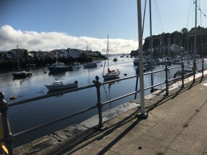
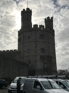
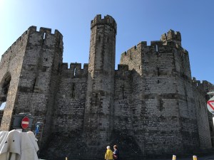
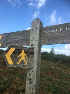
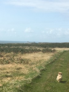
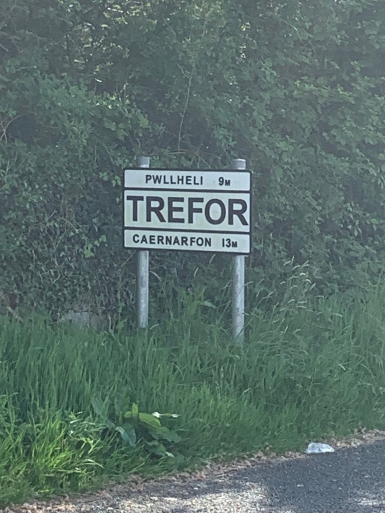
So we leave Anglesey behind for the last day of walking and pick up on a walk we started two years ago when we walked from Caernarfon to Saron (as the means of trying to reduce the length of a future walk). The whole walk should end up at Clynnog Fawr but, for reasons which will become clear later, we ended up walking another 3 miles to Trefor. So after a local bus to Saron (£1.60) at 9.45 am we reached the start point of today…
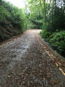
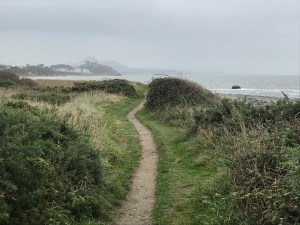
The walk heads down a lane and, after a left hand bend, we walked down a holiday let drive, along a grassy path, through some woodland and reached the coast.


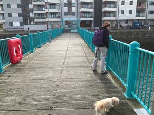
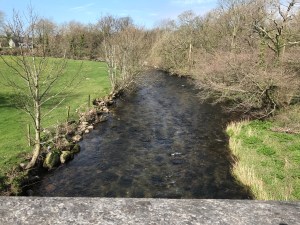
The bridge over the Carrog
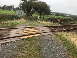
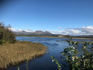
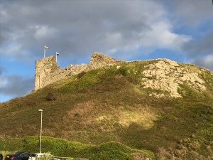
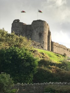
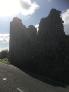
This area is very much tidal marshland and a bridge over the river Carrog took us onto the embankment and towards the airfield and Fort Belan – which was bizarrely built in the American war of independence and, unsurprisingly, has never seen action.
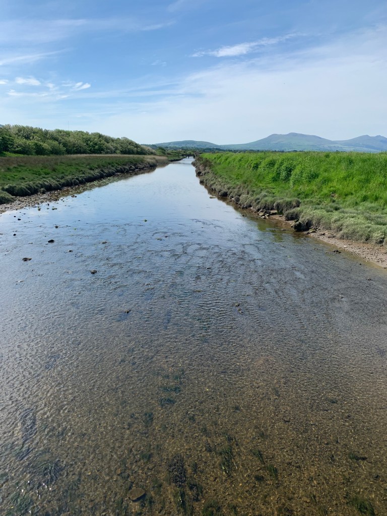
The river Carrog 
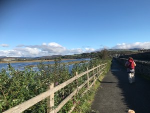
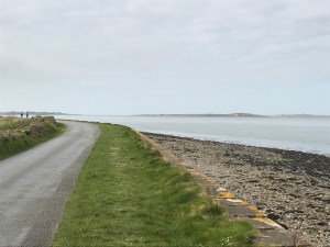
Along the raised section 
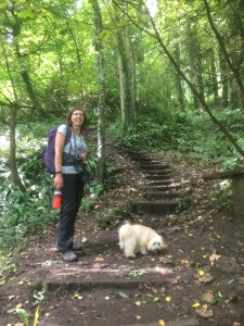
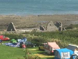
Past a campsite
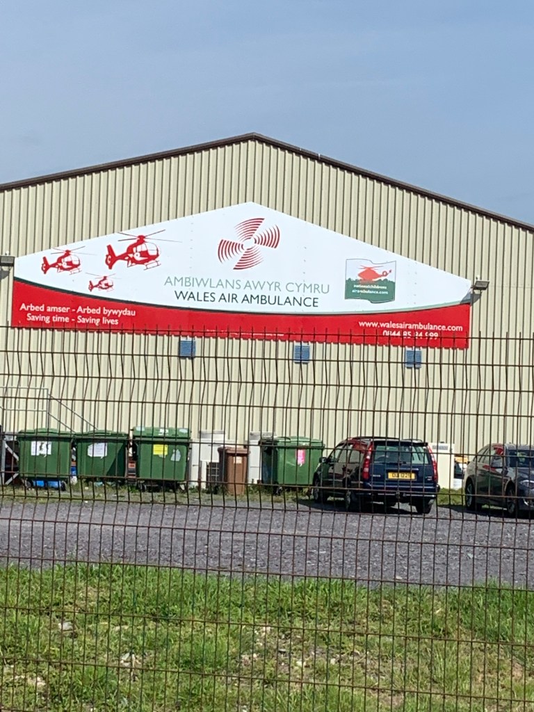
The airfield houses an air museum (closed today) as well as being the home of the Wales Air Ambulance.

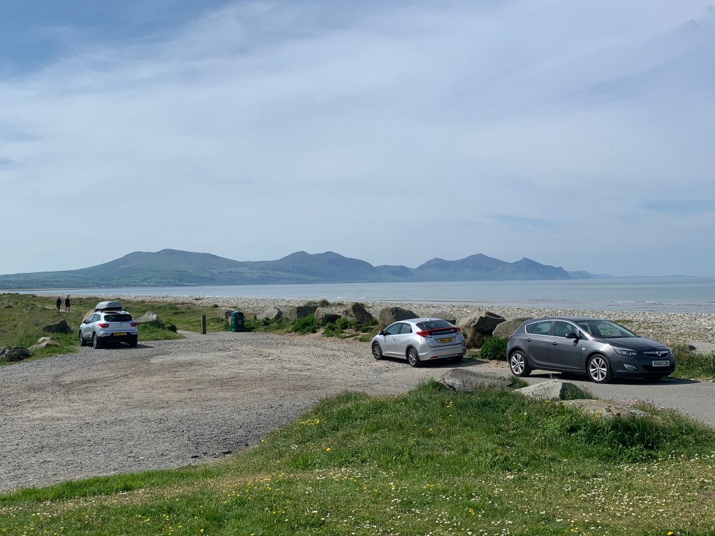
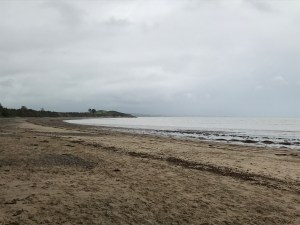
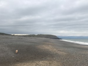
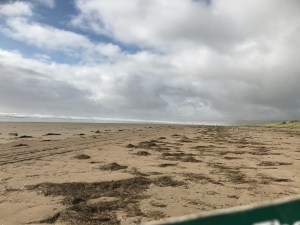
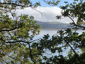
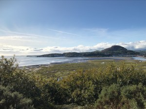
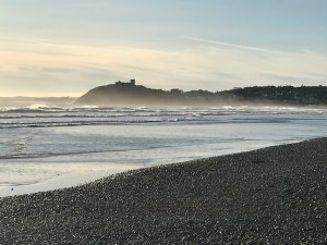
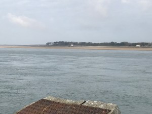
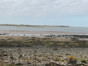
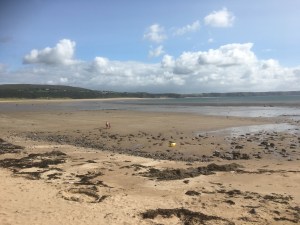
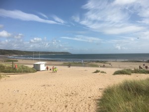
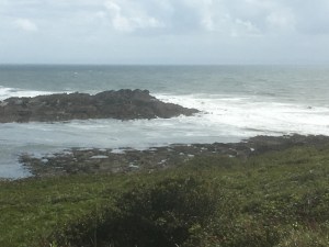
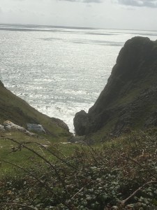
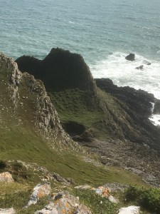
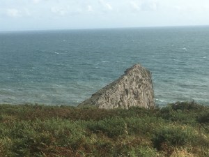
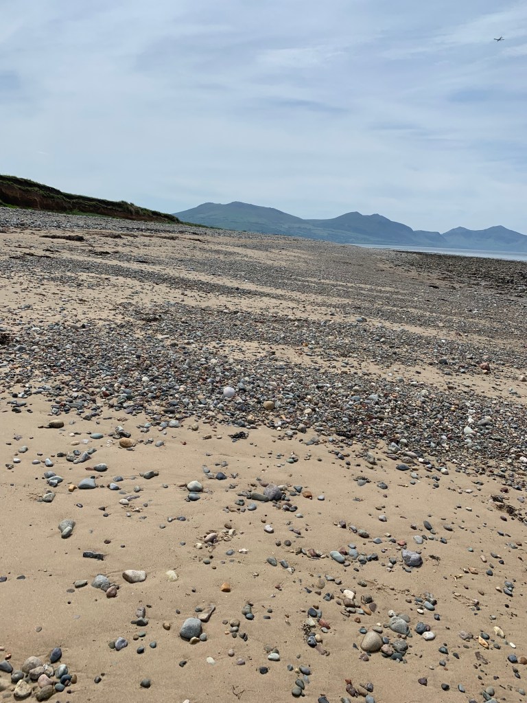
Great views from Dinas Dinlle beach
It also has a long sandy beach leading for over a mile to Dinas Dinlle, which has the basics of a toilet, cafe and fish and chip shop -but we have our lunch in the backpacks and need to start lightening the load.
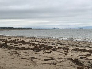
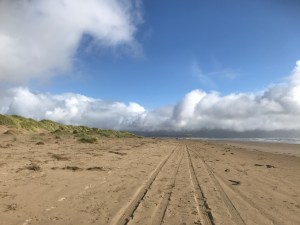
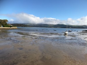
At this point the official coastal path heads inland and along a road (for the entire rest of the day). Sharon wasn’t keen on this, and we studied the maps for some time before concluding that we had to cut inland further down the beach in order to get over the river Llyfni but, other than that, there was only one “small” river which hit the beach about 1.5 miles along, and if we could cross that somehow we could then exit the beach at a campsite and join the main road.
So with some worries in the back of my mind of how big this river was, we set off along the beach.
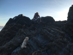
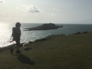
Sharon and Lola head for a dip 
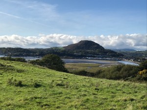
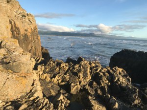
And some mountains in the backgroud
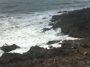
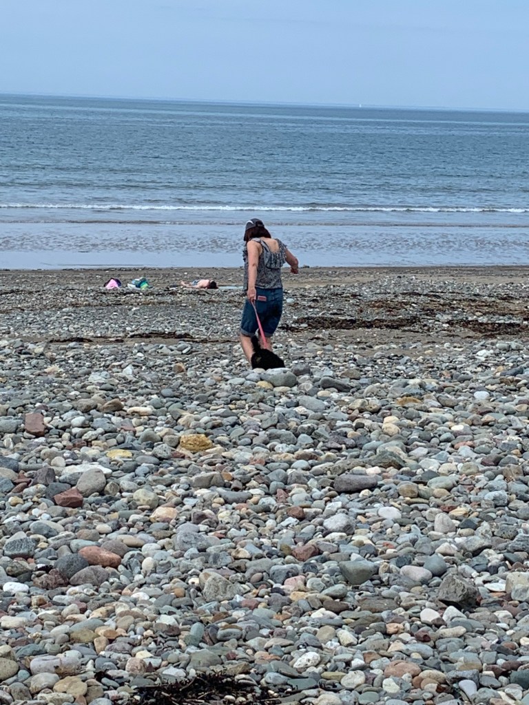
We made it to the river, and spent quite a while surveying the best place to cross – higher up the beach it was narrow but deep and fast flowing – nearer the shore it was much shallower but spread over a wide area. Different approaches came into play …..
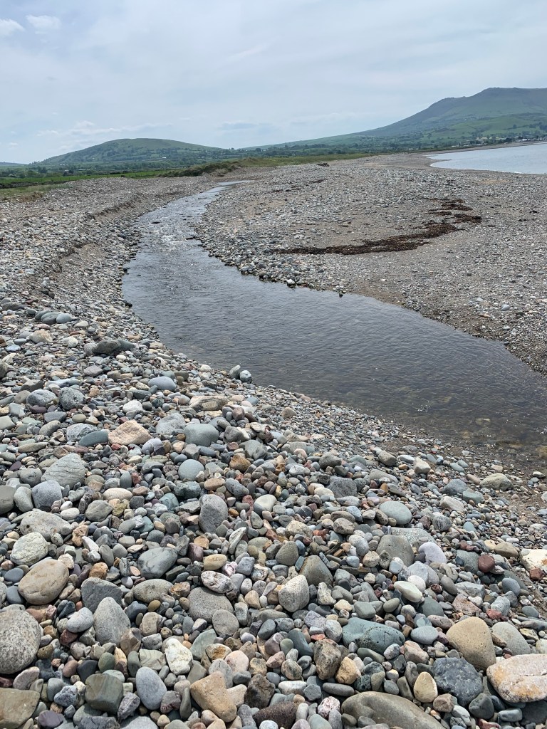
The higher section
Sharon decided to “go for it” and took a run and jump at the middle, but didn’t quite clear it and ended up with one wet foot. Andrew went for the slow and cautious approach and threw large rocks into the shallow area as stepping stones, but ran out of rocks and ended up with two wet feet!! We stopped to dry off, have a coffee and change our socks before heading through the campsite to get to the main road (A499).

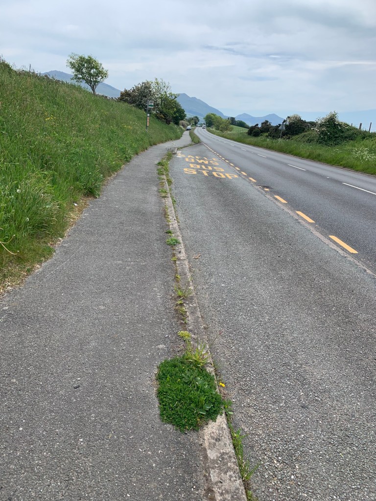


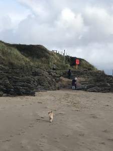
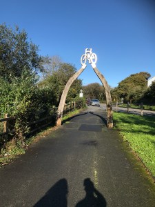
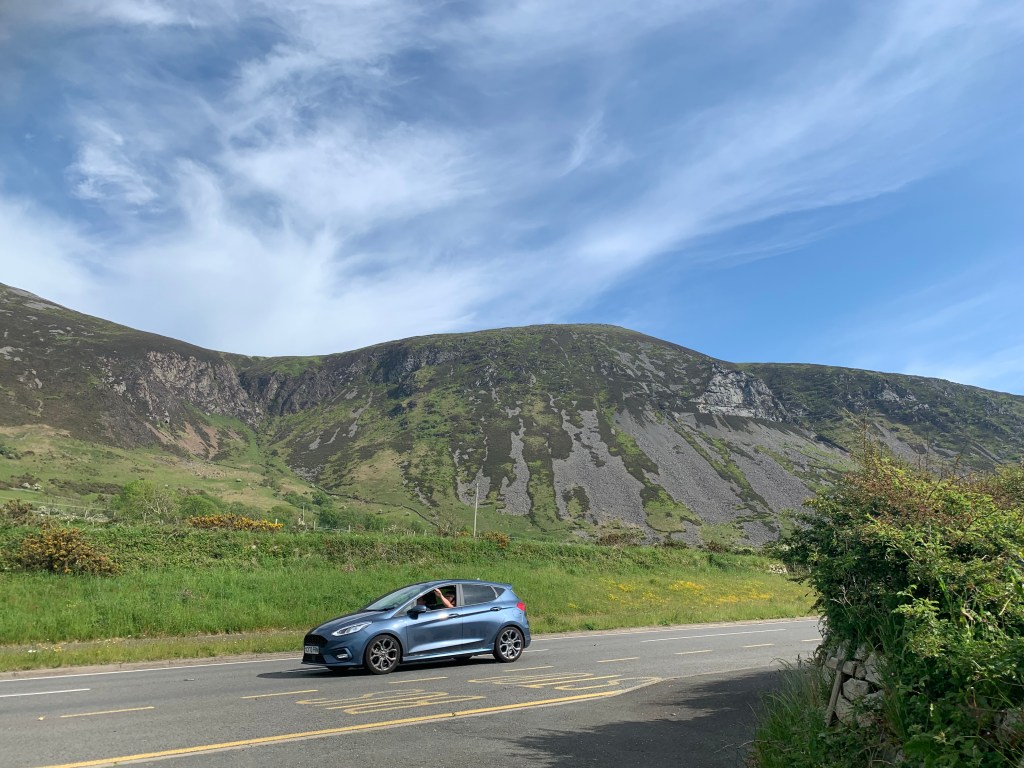
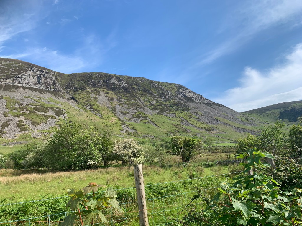
And there isn’t much more to say on these 2 or 3 miles, we just walked along a busy road, sometimes the coastal path left the road slightly to follow the old road, but it was village after village till we got to Clynnog Fawr. This is the end of the walk in this chapter of the book. But looking ahead the walk continues on this same road for another 3 miles at the start of the next walk, and getting that out of the way now means that a future walk (which goes over those mountains you have been seeing in the photos all day) will be less painful with its 650m of climb.
So we took the chance to have a rest and have a look around St Beuno’s Church – which stands on the site of a 7th Century monastery founded by St Beuno. There is also a wooden chest carved from a tree.

St Beuno’s 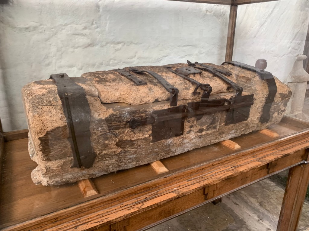


While we were stopped, the bus that we wanted to get back home later (there is one an hour) stopped outside and we decided to try to get on now rather than do the extra walk. But unfortunately this particular firm (without any warning on their website) decided that they no longer take dogs so we couldn’t get on the bus. We decided to instead carry on with the walk as planned, and then get a taxi back from Trefor later on. So, in the heat, off we set, now carrying Lola as she was getting too hot and tired.
Our next point of interest was St Beuno’s well, which was said to cure epilepsy and eye problems, but I wouldn’t risk drinking the water!!

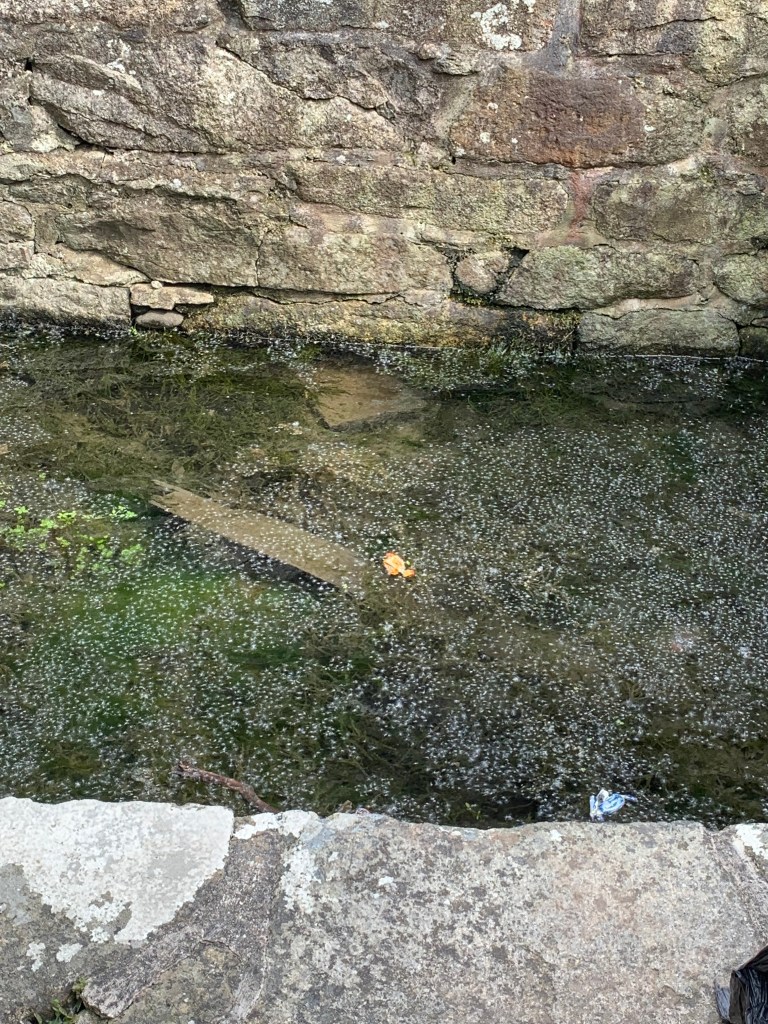
Yum yum
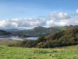
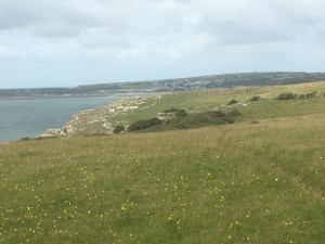
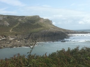
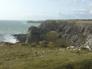
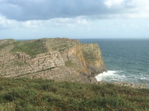
There were some beautiful views along the way to Trefor even if we were mostly walking along the main road. But the top left picture does show the mountains we have to take on during the next leg of this journey.


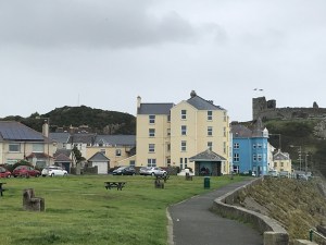
We arrived in Trefor just before 6pm and found a store for an ice-cream while awaiting our taxi back to Caernarfon.
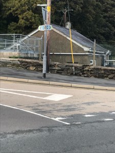
Our end point for today
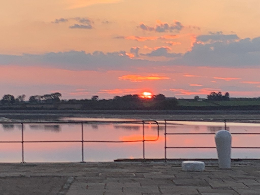
So the total today was 13.2 miles of coastal path (and across the whole weekend that makes 43.1 miles completed which is excellent with a new puppy). We have now completed 664.2 miles and have 211.4 miles to go. I’ll leave you with some pictures of the sun setting over Anglesey from Caernarfon.