5th October 2019
We had planned for this walk to be on Sunday, rather than today, but because it was a flatter 15 miles and we could start earlier than the other walk (there is rain coming in around 1pm) we decided to head out early today to do this one. So we left the campsite before 7am and were parked in Criccieth by 7.15am.

We headed up into the town which was about 0.5 miles and got on a bus to Pwllheli, and then had a 30 minute wait for the 2nd bus to get us to Llanbedrog. Even after all that we were still walking by 8.50am, and we started by getting down onto the beach. I’ll say up front that this walk turned out to be a long walk but without too much of interest with long sections of beach and then long sections of road.


The beach itself has a cute line of beach huts and a mixture of sand and stone.

We missed the first exit from the beach but the book told us there was a second way up, so we took that and got around the Carreg y Defaid headland, and along to another long beach which was very rocky at Traeth Crugan – there was a path which ran parallel to the beach but behind a water defense and we used that for over a mile as it sheltered us from the wind.


The coastal path then headed inland around Pwllheli harbour and almost right past the bus stop we had waited at a bit earlier. We kept up the brisk pace today (with the threat of rain later) and 4 miles in and we decided not to stop at Pwllheli but instead carry on around the harbour and out to the Morfa Abererch after nearly 2 miles of road walking.


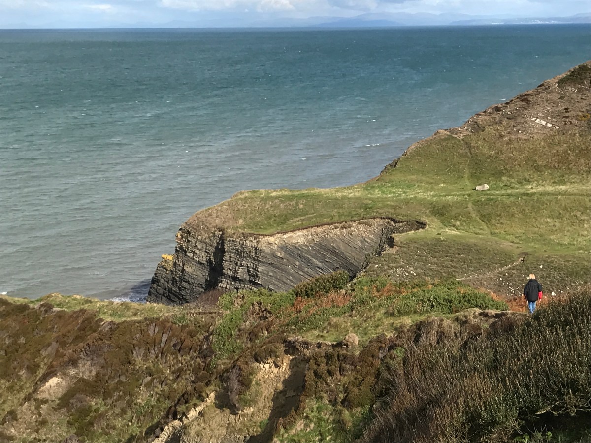
This beach seemed to go on forever, but in reality it was about 2 miles, and then we approached Pen-ychain which was another rocky outcrop.

Bonnie found the stones difficult to walk on so had a helping hand as we left the beach.

We then decided to take a quick break, which was probably the latest we have ever made a first stop coming after 2 hours 40 minutes and almost 9 miles of walking. A quick coffee and sandwich, and a snooze for Bonnie then off we set again.

We passed a teepee and walked around the hillside and some narrow woodland paths

The path then went through some shrubland ……
following the coast and then took a left inland. At this point we got lost as we assumed we would be turning right and following the coast again but that was private land, so we had to turn around and retrace our steps and head about 0.5 miles inland to follow the coastal path till it hit the main road into Criccieth (the A497).


Finally the path turned right at a farm and angling centre (shown by this sign which wasn’t completely obvious).

And we headed through the farm, across some sheep fields and over the train tracks.

Which brought us to some very marshy and muddy land where we had to jump from stone to stone – if the tide had been in we could have found this part very difficult. By now the rain had also started so we were desperate to get to the end – the castle was our marker all the way.


Finally our path came back parallel to the sea, if very slightly inland from it.

One of us was still cheery, but it was raining on the other one of us.

Finally as we headed around a corner the car came into sight.


So at 1.45pm we finished exhausted after quite a pace,and 16.7 miles walked, of which 16.1 miles was coastal path. That takes our total to 532.8 miles walked and 342.4 miles to go. Another long walk again tomorrow if we recover in time.
 You can see the sea from our caravan!


