24th and 25th April 2016
Sunday now on our weekend away, and the book says that we can do Amroth to Laugharne in a day – coming in at about 13 miles. That is fine – but there are no buses on a Sunday, and our caravan is halfway along the route. So for the Sunday we decide to walk from Pendine to Amroth and back else we would be stranded, and on the Monday complete the walk from Pendine to Laugharne and get a bus back. Job done – but with Sharon still having her sense of coastal rock-climbing adventures in mind and 28.9 miles already in our legs this weekend, this is not going to be easy.
Pendine to Amroth (and back)

The caravan park

YOu can see the path we face up the first hill
So from the campsite we headed towards Pendine Sands and in front of us the hill showed clearly the path we would take.
As we climbed so the beach got smaller and smaller, and our breaths longer and longer…

Half way up

At the top – Pendine beach

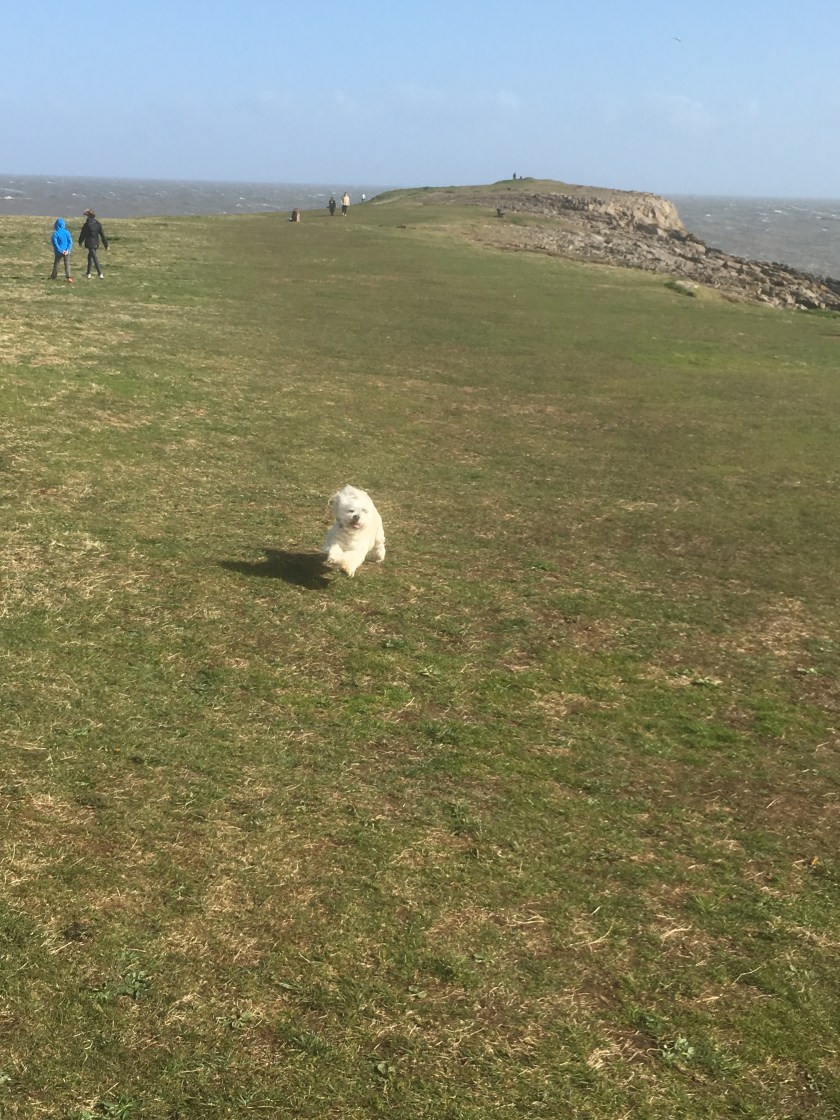
Come on Sharon

Jumper off in the sunshine
The view from the top of the first hill (Gilman point) was magnificent

Gilman point

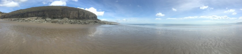
Morfa Bychan
both the views out over the point, and ahead of us Morfa Bychan, a small cove of a beach. But then we saw where the path was leading us – right down to the beach and then back up the other side was another hill which looked even higher than the one we had just climbed up.
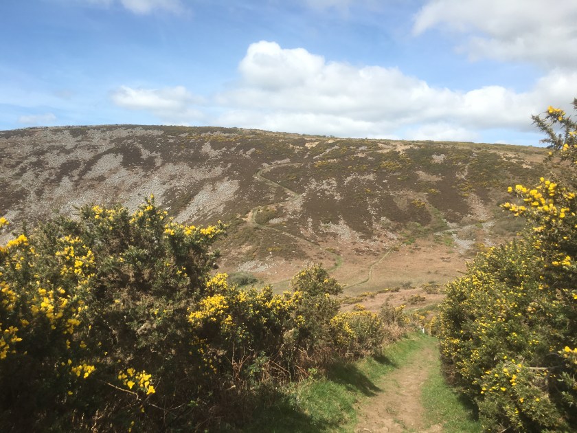
I left this picture full size so that you can see the path cutting up the hillside, around 370 feet up for that peak alone. And this time you stay up high for a bit longer, with some drops but not back to sea level…

Telpyn point

Marros Sands
Unless of course you are Sharon. Marros beach stretched out below us, with no-one on it. We meet some walkers coming the other way and they asked if we knew a way down on to it because they reckoned that if they could get down then they could walk along the coast at low tide past Telpyn point (Left picture above) and straight into Amroth avoiding the last hill. We didn’t, but helpfully we pretended to offer up a path behind us which might go so far. In return they told us that ahead we could drop down and get on the beach and might be able to time it right to get to Amroth – just under an hour till low tide and Sharon not only wanted to walk the beach all the way to Amroth but also then stop for food and find the time to turn around and get back along the beach as well.

Using the waterfall

To drop down on to the beach
We went for it, and with a bit of rock climbing (but nothing like yesterday) we got around the point and onto Telpyn beach and Amroth.
It must be said, Amroth is beautiful….even though the official end point of this walk (and the start of the Pembrokeshire coastal path) was right at the start of the beach, we decided to walk the length of Amroth (an extra mile or so) and it was well worth it. We could easily see the seaside house being here – definitely high on the list.

Amroth

And the far sign at the far end for a future start point
But then we had to turn around and walk back – Sharon was determined to get past the first point on the beach to avoid a hill but I wanted to note the start point of the Pembrokeshire coastal path….
Then we made it around the point before we stopped for a sandwich, and I tested Strava’s ability with a run along the beach (was looking better before we then walked right through it!!)

Testing Strava’s accuracy

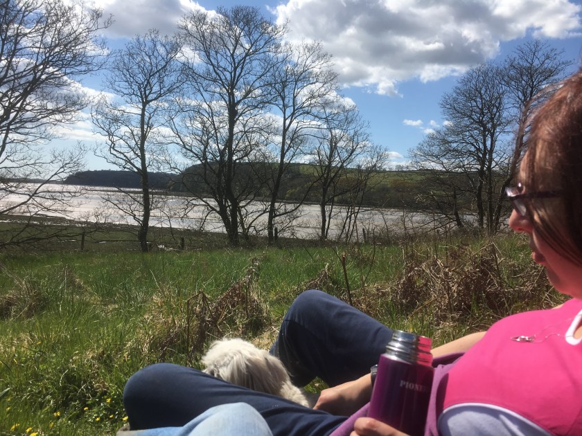
Our lunch caves
At this point we had a choice – someone showed us where we could get off this beach further down and back over the 2 hills to Pendine – or we could go for it and try to get round another point with the rapidly encroaching tide. Guess which Sharon chose, despite the warnings of some fishermen that it would be tricky…. so rock climbing we went again, carrying Cleo all the way, and it was a good 15 minutes of climbing..

Lunchtime pose

Now over the rocks we go

Not the easiest route!!

Up we go Cleo
But we made it, leaving just one hill to climb and then we were back in Pendine – today was 13.7 miles and a massive 1930 feet of ascent, despite the beach cheats!! But only 6.8 miles of coastal path. Meaning 130.7 miles completed and 739.3 miles to go.
Pendine to Laugharne
And so a leisurely morning for our last walk of the weekend, and it needed to be with blistered feet and 42.7 miles already walked this weekend.
So we set out from Pendine and the coastal path pretty much followed the road right up to Broadway.

Near Pendine

Marshland

The path at Broadway

Cows taking an interest in Cleo
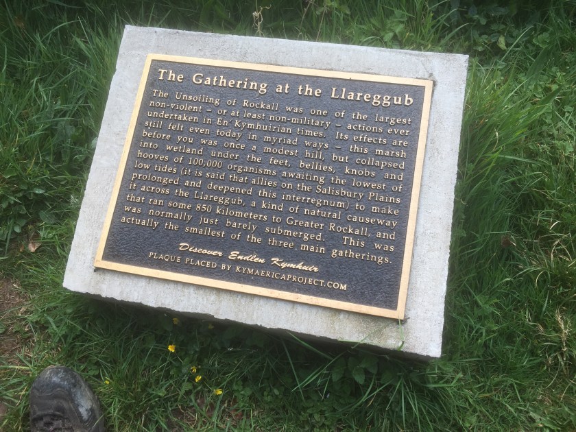
The path then suddenly went up some steep steps and into Dylan Thomas land – starting with a sign about the famous Llareggub uprising (in case you need it explaining – read it backwards)
There are benches with famous lines from his poems all the way along, and then the estuary hits you with splendid views of Laugharne castle

In the distance

Laugharne Castle
A few landmarks – Dylan’s original house, the shed above the boathouse where he wrote, and a pink house (nothing special about the pink house except that we saw it from a distance on Saturday and since then every time we went past a red house Sharon asked if it was the pink house, yet she missed the actual one in Laugharne, so I have to include a picture of it for her!!)

Dylan’s original house

The boathouse shed

the pink house which kept haunting us, but Sharon missed
Add the end point was the bus stop where we got to on Saturday

As we sat in a lovely cafe in the town centre eating a fab breakfast, and then some fab cake as well (two meals in one!!), we realised we had walked 7.2 miles today, making 49.7 for the weekend in total and all of it was coastal path, making 137.9 miles in total and only (ha ha only) 732.1 miles to go. Roll on the next weekend,
Andrew and Sharon