Fairbourne to Tywyn

20th September 2020

The third and final day of our weekend and again last night the wind picked up from nowhere and kept us awake most of the night. Today there are no trains so we are going to get the bus from outside the campsite to Fairbourne where we left off yesterday.

Look at that sky again

But the early part of today’s walk is not along the coast as there is no path between the sea and the cliff edge so it is inland we have to head and on one serious climb. In fact today is the 2nd biggest climb on the whole coastal path apart from Aberdyfi to Machynlleth (and we can still remember how hard that one was). That day was 620m of climb over a 12 mile walk and today is due to be 600 metres of climb but a 16 mile total walk.

What a beautiful sky today, going to be too warm
Slow down Bonnie, need to save those legs
Under the railway line to the road

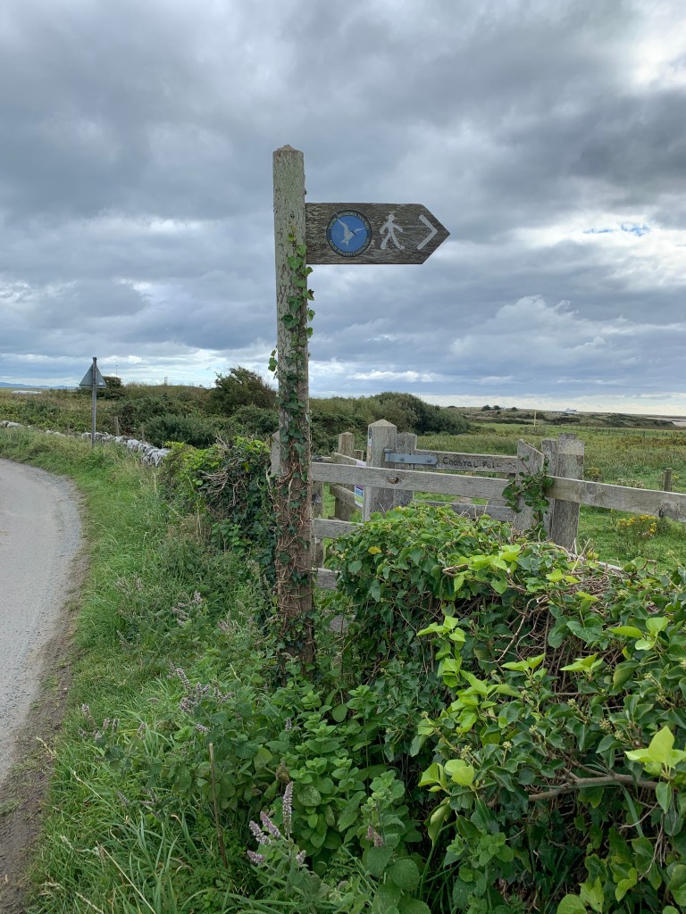
The path crosses the main road and heads up a lane, which starts off innocent enough.

You can start to see the hill

And we climb, then turn right, climb again, then left and climb again and so on, weaving up and up.

Hopefully this shows the gradient

Within about 25 minutes we had this view….

And there is Barmouth.

Even at this height there are still bridges to cross.

And here is where we stopped for our coffee break, on a convenient bench right next to someone’s house.

And the climb isn’t finished yet, as we now hit a woodland area with a single track road, and down below is Fairbourne where we started out.

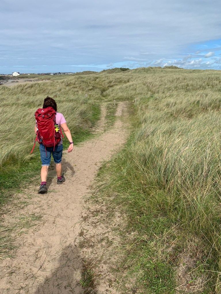
Sharon leads the way along the road.

Still getting higher, we would be in the clouds if there were clouds today.

Just past this gate we could wait no longer and stopped on a slope for lunch.  Straight afterwards we had a steep decline down to sea level and the village of Llwyngwril which had a pub (closed till 2.30pm) and a train station. After 100 metres of walking through the village the path turned off to the left past a cemetery and back up another steep hill for the 2nd large climb of the day.

Over a bridge into the village


You can’t quite see this gradient but it was steep

At the top of the hill the path turned right and through a farm.

Then past a house which Sharon fancied “doing up” as a holiday home.

In need of some minor repairs

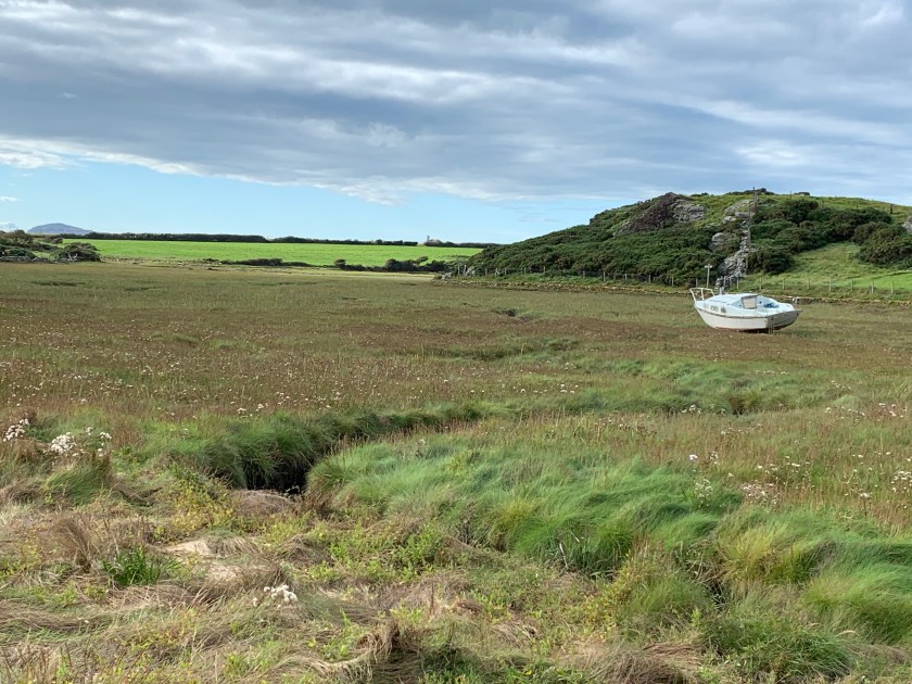
Finally the sea, but still a way to go.

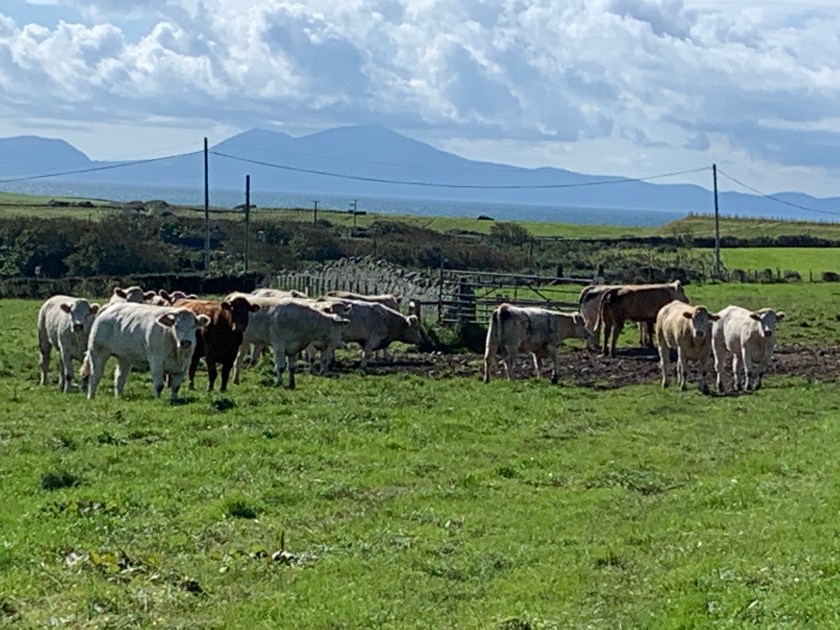
We crossed some very well signposted fields where the farmer was rounding up his sheep using a quad bike – very friendly chap.

And then we started a descent again.

And along a path which probably doubles as a river bed and was very very muddy.

Before we crossed the main road and turned left to go through some more fields,

After walking along some further muddy paths the path then crossed another farm. Sharon asked some locals where the path went, and I think it was at this point we first went wrong – they directed us left and slightly uphill, but I think this was a different path. But on we ploughed  -never turn back!!

This path was not well used.

This path took us into the quarry, where we again found a coastal path sign, but unfortunately it was for the optional longer loop which used to be the main path before the bridge was build over the estuary.

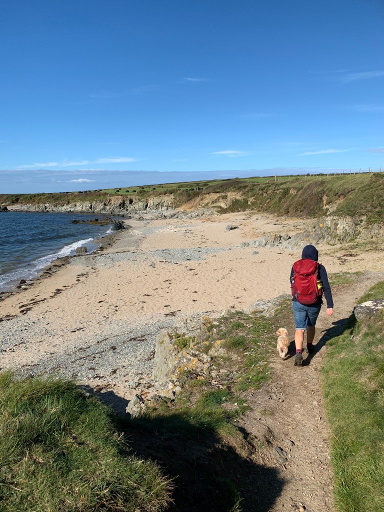
By now Bonnie had had enough, and we took turns to carry her for a while, she didn’t seem to mind!!

And we cut down through the quarry

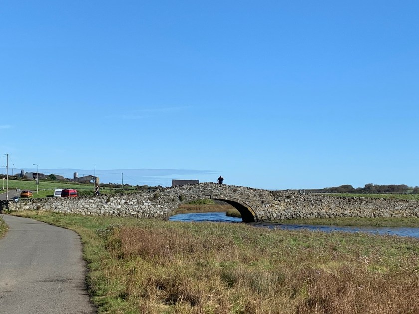
To get to their main gate, and walking around the edge of it took to the main road and a short walk back on ourselves to get to the new bridge – Pont Tonfanau

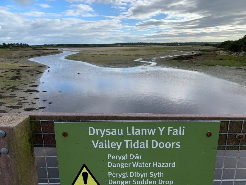
The new raised path on the way to the bridge, it crossed what would otherwise be a very marshy area.

Once over the bridge the end was almost in sight.

Along a road beside the top end of Tywyn beach.

And through a caravan park where we found a shop selling ice cream.

Finally we had made it back to the beach and to our starting point 2 days ago – just the small matter of the 1 mile walk back to the caravan now.

So with the sun setting we had completed the whole weekend with a day to spare – still, we can collect some shells and do some shopping tomorrow now.

The total walk today was over 17 miles and 16 miles of coastal path, making 35.5 miles over the 3 days, and our total is now to 621.2 miles completed and 254.4 miles to go. Time for some dinner and a well earned rest.

Llanbedr to Fairbourne

19th September 2020

Day two of our weekend and this is going to be a longer one. Due to timings of buses and trains we had to first of all start further away that we wanted (Llanbedr station was closed so we had to go to Pensarn and walk back), and at the other end we were planning to stop in Barmouth …..more about that later.

We had not had a good night’s sleep – from nowhere the wind picked up massively and 3 times in the night I had to go out and peg the awning back down and for the rest of the night things thumped against the side of the van. Anyway, up we got and off we walked to the train station, so that was our first mile (which didn’t count towards the coastal path).  At Pensarn we walked back to Llanbedr (another 0.7 mile which didn’t count) and finally we could start the walk.

Remember this bridge? Bonnie does
Here is our start point

The path immediately crosses the railway line and the station we would have got off at if it was open, and then it heads down towards Llanbedr airfield.

That would have saved 0.7 miles
The airfield

Then it was on to the tidal marshes where a convenient path cuts it way through the middle.

Can’t go to Shell Island so left we go
Our leaders
The path through the marsh
Interesting sea creatures in the marsh

The path then heads towards our first glimpse of sea of the day as it reaches Morfa Dyffryn, but first there are some sand dunes to climb over.

Morfa Dyffryn is a nature reserve
Over the dunes

I see the sea

The next 2 miles of the walk are along the sand, and we stopped here for a coffee break before heading on – we had heard it was a nudist beach but I don’t think that Sharon was quite prepared for all that was flapping around in the wind!!

I’ll take the photo from a distance for decency

The beach got busier and busier as we entered the “with clothes” section and then there was an exit to the left with a coastal path sign – someone was holding an ice cream which gave us hope of an ice cream – but could we find the van? Nope not at all 😦

The exit point from the beach

So up the boardwalk we went (not under it).

Through a car park and then along a road, before turning right into a field. We then end up following signs across the field, right, then left and then right which mean we ended up not far from where we started.

Through the fields

Over a wall, and across the bridge and we then met some Alpaca who tried to give us directions but we end up making some funny circles on Strava as we wandered around the fields.

Eventually we found ourselves back on the coastal path and on the main road into Barmouth, which we then followed for a couple of miles.

Ah-ha
The road is quite a way from the coast

After the church….

The coastal path turns right and down a steep hill, over the railway line and along a promenade. Sharon tried to get the land train to stop and give us a lift – nice try!

The beach with sand dunes
It is another lovely day

By now we were getting rather hungry so we stopped for a sit down chip dinner.  Then we had to take a decision whether to wait a few hours for the only train of the day to get us back home (the train goes over the Barmouth bridge) or to walk over the bridge and catch an earlier bus (the buses don’t go over the bridge and have a 40 minute inland detour).  We decided to go for the bus and keep on walking!!!

So through Barmouth we walked and over the old wooden bridge, paying the toll to the troll.

Yes there really is a troll toll

Don’t worry – that train is one going the other way!!

We then decided that it would be easiest to walk along to Fairbourne as we could then get the bus from there if we got a wiggle on and it would be easier to start from there tomorrow.  The next part of the walk goes along the other side of the estuary on a cycle path towards the coast again.

Afon Mawddach
The road along the coast at Fairbourne

You can just make out a miniature railway track beside the road and again Sharon was hopeful of a lift, but the little trains had stopped running for the day, so we pushed on along the promenade.

And the end point of today’s coastal path as well as the starting point for tomorrow.

We just had time to walk into town to the bus stop and get an ice-cream from the passing ice cream van while we wait.

The total walk today was over 17 miles but 15 miles of it counts towards the coastal path total. That takes our total up to 605.2 miles completed and 270.4 miles to go. Hopefully it won’t be as windy tonight and we will sleep well.

Tywyn to Aberdyfi

18th September 2020

We had this long weekend planned for a while, but ended up having to escape RCT an evening early before lockdown came in.  So after a night rough camping on my parents drive we set off for the Meirionnydd section of the path to complete the remaining 3 walks in that section over this weekend.

Our plan was for a shorter walk the first day and then to get to the campsite to set up – but we didn’t realise just how easy and short the walk would be!!

We parked in the Tywyn train station car park and walked to the coast.

Our starting point
Our starting point

The walk today is along the beach to Aberdyfi, joining up to a section of path we last walked back in March 2014 on my birthday weekend.  How different the world is now.

The first part is along the promenade

When the promenade ends the path takes you down onto the beach and then you can either walk across the sand or along the path running through the grass – we decided on the beach….. well why wouldn’t you on such a glorious day (as usual!!).

The hills are off to the left of us – I still remember those hills 30 months later!!

Bonnie loves the beach

But today is as flat as can be – and Bonnie leads the way.  There isn’t much more to say on this one really – beach, sunshine and coffee at the end of the walk – that’s all you need for an opening walk on the weekend.

Shorts and straps
And here is Aberdyfi

So only 4.5 miles today, and done inside 90 minutes, leaving us plenty of time for the coffee and then a bus back to the car. That takes our total up to 590.2 miles completed and 285.4 miles to go.  There will be more challenging days on this weekend, that is for sure.  Now off to get basecamp set up.

Aberffraw to Four Mile Bridge

1st September 2020

This walk was completed in 2 stages, the “end” part we actually completed on the Friday when we arrived and had set up the van (hence you will notice a change of clothes and more clouds in the last few pictures), and the beginning we undertook today on a beautiful sunny day.

We walked to the bus stop and watched the fighter jets taking off in pairs from the airfield by our campsite. The bus ride was about 40 minutes and when we arrived at Aberffraw we were straight onto the coastal path which runs alongside Afon Ffraw.

Bridge over the river Ffraw
What a glorious day already

The tide was heading out, and the path was moist but fine to walk on, and it headed up to a field and around the corner, my do we pick amazing days to go walking.

Snowdonia watching over us

We found a small cove of a beach, and then along some paths, where some helpful men were strimming the long grass and nettles back for us.

Much easier to walk on it now

The path then rounded a bend and we could see this church in the middle of the bay, surrounded by water. It is St Cwyfan’s Church-in-the-sea, and it was built in the 12th century but over the years erosion meant that it got cut off from the land. In 1890 they build a wall around the church to protect it, and now it is only accessible at low tide (or by boat).

St Cwyfan’s Church-in-the-sea

Just past the church the path heads up to the right and past a farm. We then entered a cow field (and at this point Sharon was on the phone and not concentrating so we got a bit lost). We wandered around the cow field for a bit and tried to avoid treading in the worst of it before finally heading towards another fence which we climbed to escape from the cows and back on to the path. For those following our adventures and completing this walk – turn left when you enter the field and head down to the sea!!

Not sure who was more surprised that we were there

The walk then continued along the cliff top for a while before reaching Porth Trecastell where we dropped down and across a car park. As we climbed back up the other side there was a strange circular solar panel on a mound.

What is it?

When we walked down to the bottom of the mound all was revealed with a gated entrance to Barclodiad y Gawres, which was a prehistoric chambered tomb. It has lovely carved stones inside the passageway, but unfortunately to protect it, it is only open for official visits, and our visit didn’t count apparently even though all you lovely people would love to see inside it.

Just the outside sorry

The walk then took us through a lot of dunes and along the beach and up to Rhosneigr which was our planned stop for some lunch.

Will Sharon make it to lunch?
She is going well
Oh no, she’s fallen, can she make it?
We made it!!

And this is a happy Sharon post coffee and cake. The walk goes right though the town and back to the beach on the other side. Well, to be honest, you aren’t supposed to go on the beach as it hits a river that you can’t cross, but we headed over some dunes and rejoined the coastal path in time to cross this bridge besides the golf course and over Afon Crigyll.

Afon Crigyll

The walk then heads besides the RAF Valley airfield through more dunes and finally back onto the beach. By this point we felt under attack with planes taking off and landing right over our heads.

Back onto the beach
Two of the fighter planes taking off

There were also some older planes taking part in the session, and as we left the beach and went through the car park (which floods at high tide) we could see the airfield more clearly.

They do everything in pairs

That concluded the Tuesday part of the walk as we met up with the point at which we started the walk the previous Friday evening.

The end of Tuesday and the start of Friday, notice the increased cloud on Friday evening

This part of the walk starts by zig-zagging across some fields and past the landing lights for the airfield.

On the approach

We then followed the estuary up and there was an inlet called Penrhyn-hwlad which was a one mile detour where you have to do 3 sides of a square as the more obvious route of just the fourth side would result in wet feet.

The estuary
That’s the fourth side we wanted to walk across but it wasn’t clear that you can get off the other side.
The 3 sides you have to walk around
To get back here looking at the 4th side from the other side.

From there on out it was fields, a few horses, and a few walls to climb over.

No we didn’t pick some tea!!
A raised section above some “tidal doors”

And we made it to Four Mile bridge, with plenty of time to then walk back to the camp along a bike path to test out the biking route for the rest of the weekend.

Four mile bridge and the end of Friday but the start of Saturday.

So this section of walk was 10.5 miles on Tuesday and 3.6 miles on Friday making 14.1 in total and our weekend total was exactly 40 miles.

We have now completed 585.7 miles, with 289.5 to go. We have one more walking weekend planned this year, lock-down willing.

The complete Ceredigion Coastal Path

The 5th May walk completed the relatively short Ceredigion section of the Wales Coastal Path.  6 walks for a total of 72.6 miles and gaining over 2810 metres in height.

For us the walks were

  1. Machynlleth to Borth  16.1 miles and 590 metres high on 25th March 2018
  2. Aberystwth to Borth 5.7 miles and 320 metres of height on 23rd March 2018
  3. Aberystwth to LLanrhystud 11.3 miles on 26th March 2018
  4. New Quay to Llanrhystud  14 miles on 5th October 2018
  5. Aberporth to New Quay 13.3 miles on 6th October 2018
  6. Aberporth to Aberteifi 12 .2 miles on 5th May 2019
%d bloggers like this: