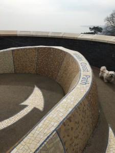
Making the most of our caravan site location we today drove to Kidwelly and left the car at the railway station, with the plan to walk to Llanelli (13 miles according to the coastal path book) and then for Andrew to get the train back to get the car while Sharon and the kids played in the park by the discovery centre (the finishing point of the previous leg from Pen-Clawdd to Llanelli.
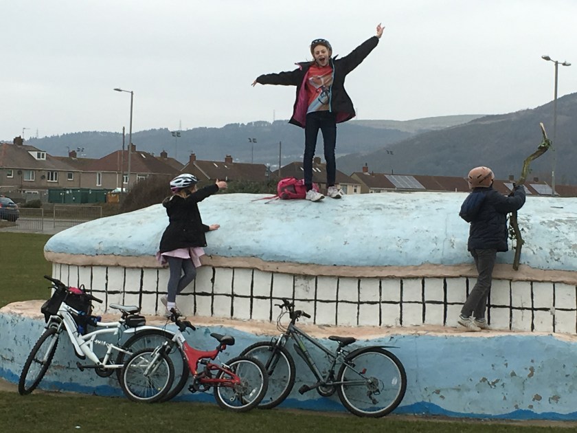
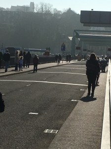
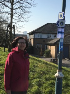
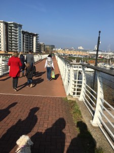
So here is the Kidwelly train station sign with the coastal path sign on a lamppost, and the kids and their bikes waiting for a train to pass. Cleo was ready to go, and after a short walk down a lane we got our first glimpse of the coast today.

And he is off

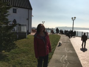
Sharon giving us the – “we are here” moment
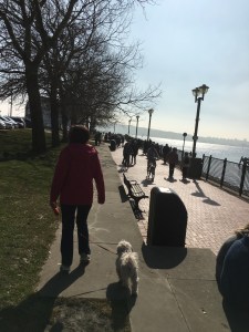
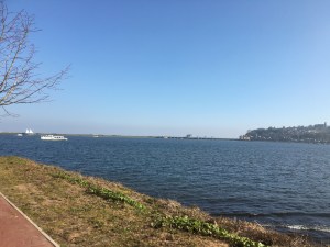
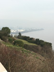
We walked along a canal and then briefly on the main roads until we reached the wetlands, and here the winds really battered us (we had chosen to walk this way to have the wind aiding us most of the way, but here it was very much against us with 40mph gusts). Overhead there were two fighter jets having a mock battle.
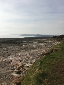
Lunchbreak time and a wall sheltered us from the wind. The salt marshes here were green but it was a very low tide and when Andrew passed here much later in the day on the train the area was flooded except for the raised path.
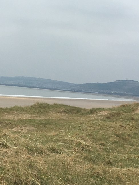
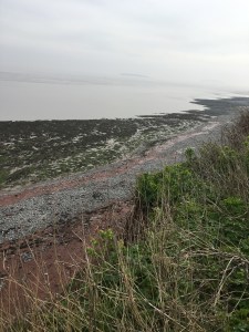
So after marshland the coastal path then gave us forest, with a couple of miles of woodland walks. And here our book suggested we turn left and continue with 4 more miles of woodland to the Pembrey country part, but we followed the signs (maybe they are newer than the book) and went straight on until we hit the beach. Having got past the initial sand in the eyes moment we got down to the solid sand with the tide miles out.
What an amazing beach, and completely empty, we have never had a whole beach to ourselves before and we did some beach combing for shells.
The wind was at our backs now and blowing hard, with sand whistling past us, so we didn’t often look back but when we did the sky was very dark.
Trying a panoramic picture on the blog for then first time, the left being sunny, the right being rainy.

The sand made some wonderful swirling shapes, the sand is flat, all the shapes are blowing sand.
Just time for Sharon and Cleo to pose before we rushed on, with the storm clouds out over the sea, although somehow the rain managed to miss us.
Then we saw a way off the beach into Pembrey country park (where the caravan was going to be before the site was flooded) and headed in land, where the coastal path went right past the dry ski slope and we stopped so that the kids could have a quick toboggan run.

Exiting the beach

The dry ski slope

Go

G0

Go
And then after a climb over the toboggan hill we left the country park and headed towards Burry port on the cycle path and coastal path all in one. Looking across the estuary we could see part of where we walked on Tuesday and part of where we will go in the future.
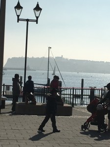
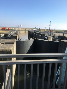
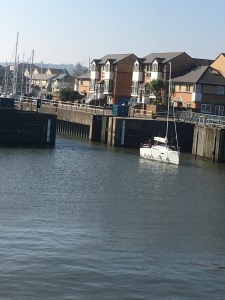
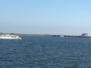
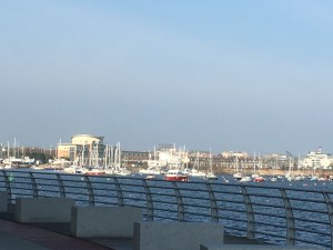
By now the tide was coming in and the wind was making the waves quite large. Time was also ticking on and we knew there were trains at 5, 5.30, 6, 6.30 and then nothing till 8, so with a brief look at Burry port we continued the walk.
We were looking for the amazing circular shell shaped grass lands, and almost missed them till we looked behind us as we reached the barge.
Absolutely amazing, and we nearly missed it, although seeing it meant we did miss the left hand turn to go over the railway line and added an extra mile or so doubling back and up a steep bank. Then for our favourite bit of the day, we wanted a picture of us all on the grass steps, so Andrew asked a rather old passerby to take our picture. After his first attempt Andrew looked and he had turned the camera around to take a selfie, the second attempt was no better, and on the third attempt he managed to not only turn the camera round but also to take an 18 shot burst of himself…. We gave up!!! Here is his best picture.

And here is the empty step which we took after he had left so as not to hurt his feelings.

The pace quickened,and again we missed a poorly signposted turn which would have kept us closer to the railway track. But the bike path ran parallel and didn’t cost us much time. A little bit of history for you now and to tell you about this plague to celebrate the landing point of Amelia Earhart, the first woman to fly the Atlantic Ocean single handed in 1928.

And then we suffered from a sign being turned the wrong way and ended up walking to the discovery centre along a road and not the coast, but we were not turning back now. So while the official book says the walk is 13 miles we actually walked 15.8 miles, and then Andrew had to sprint half a mile to the train station to get the train back to Kidwelly (free as no ticket collector), and back in the car to collect the family.

Without doubt the longest we have walked on the coastal path in a single day (the blisters prove this), but the best day so far in terms of the magnificent scenery and the variety of the walk from marshes to forest to beach to estuary, absolutely fabulous. For the official tally… 13 miles completed on this leg (although the book might want to add a mile or two for being able to go along the beach), so that is 92.7 miles completed and 777.3 miles to go!!!!